Day 76-The Third Block

day 76
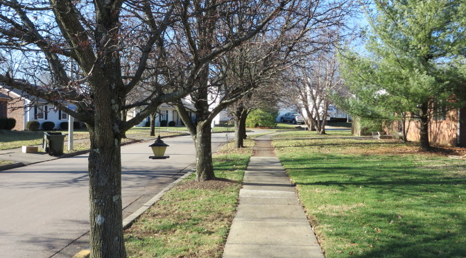
My last walk in 2014 passed through the Kenwick neighborhood , northeast of Richmond Road.  This was an exciting walk for me for a couple of reasons.  It’s my first good opportunity to test out a method of covering streets in which I will walk along a set of parallel streets on one day and then cover the intersecting streets at later date.  (There aren’t a lot of areas that have a good string of parallel streets.) On a personal level, this was neat because it took me past a house that looked at and that was at one time high on our list of potential homes.

Sherman Street
Sherman Street

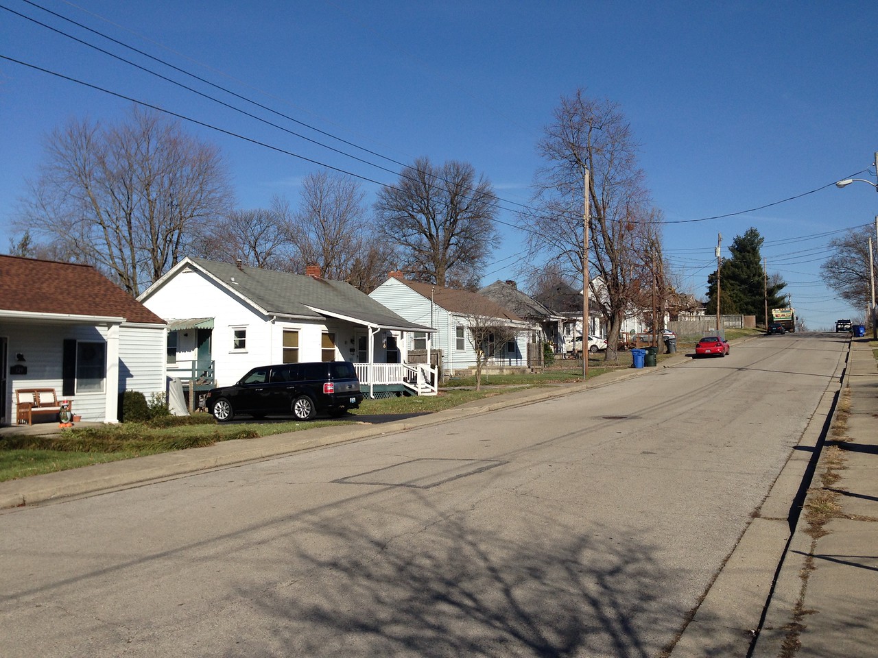
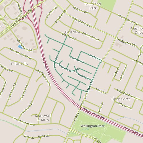
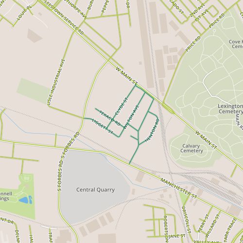
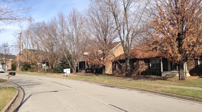
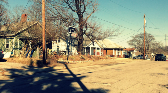
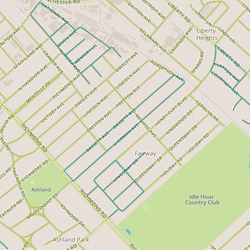
When we were looking at houses, I remember being told multiple times that this was a neighborhood in transition.  Look for a house in the first couple of blocks, closer to Richmond road.  That third block, we were told, was a little rougher.  The character definitely changes as you progress northeast from Richmond toward Robertson and the RJ Corman tracks behind the neighborhood.  The contrast between the first block of Bassett and the third block of Sherman is especially clear.  The houses on the southwest end of each street typically date from the 1920’s or early 30’s.  The houses on the northeast are smaller, and generally seem to have been built in the late 1930’s.  Especially on Sherman, there seems to be a lot of infill, with many houses clearly newer than the 1930’s or 40’s.  There is a lot going on–not only new construction but also remodeling. It may be a neighborhood in transition, but it doesn’t have the degree of tension that I found nearby on Day 17.  I think diversity may have been built in with the variance in housing stock and, since it’s always been there, it’s less of a concern.  It’s perhaps more a lucky accident of timing than anything else, as the Depression certainly had an impact on how these blocks developed.


Day 75-More different than alike

day 75Today, I toured the Pera Place neighborhood.  This area seems to be two fairly distinct areas.  The northern area was built out in the 1980’s, the southern area in the mid 1990’s.  The northern area is interesting in that the architectural style is visually right in between the ranch styles popular in Lexington neighborhoods built in the 1960’s and 70’s and the styles that are present in neighborhoods built since the 1990’s. In addition to the being newer, the houses in the southern area are smaller and a little less illustrative of the progression of housing styles.  The two sections also have different themes for the street names–Southeast European place names in the north and botanical names in the south.  With the addition of some bogeys, there are some interesting intersections–I imagine directing someone to a house near the intersection of Waco and Dardanelles!

Entry signs at the entry to this neighborhood clearly indicate that this is the Pera Place subdivision, but nearby a street signs carry the Pasadena neighborhood badge.  So, the question is, what makes a neighborhood?  As a starting point, I’d like some well-defined neighborhood boundaries.  My home city of Denver has neighborhoods nailed down pretty well, with the neighborhoods there being clearly defined.  Individuals may understand different boundaries or a different name for a given neighborhood,  but a consistent designation exists.  Departments within the city and people who live there can speak the same language.

A recently installed street light entangled with a mature tree. Did no one ask "maybe I should move this over a few feet?"
A recently installed street light entangled with a mature tree. Did no one ask “maybe I should move this over a few feet?”

This doesn’t seem to be the case in Lexington.  The Property Value Assessor’s office seems to have a comprehensive list, but the PVA-Neighborhood field is (based on my experience) probably not well-aligned with names and boundaries that Lexingtonians would recognize and may have too fine a granularity to be useful for demographic purposes.  LexingtonKY.gov has a list of neighborhood associations, but once again, this is an imperfect list with lots of room for overlap and granularity issues.  There are entries for specific addresses; Chenault Road and Chevy Chase both have entries even though Chevy Chase includes Chenault Road.  Wikipedia has an opinion, too, with a list of neighborhoods and links to an external site.  But it may well be incomplete; it doesn’t include an entry for Pera Place (and in case you’re wondering, it’s entry for Pasadena makes clear it applies only to the adjacent neighborhood and doesn’t include Pera Place.  None of these are really satisfying.  I hope I’ve overlooked a good source and someone can point me in the right direction.  Otherwise, this would be a nice gap to fill.

This still doesn’t answer the question about what makes up a neighborhood, something I reflected on while walking though these two distinct areas.  I foresee other opportunities to yank on this thread in the future, so I’ll leave it for now!

Day 74-Elevated…

day 74Today’s walk focused on the Melrose Park neighborhood next to Manchester road, near the distillery district.  This neighborhood seems to have been built out in the 1930’s and 40’s, and simple frame houses from the 40’s dominate.  The neighborhood is also sandwiched between the railroad tracks and industrial areas along Manchester and an elevated portion of Main street, perhaps isolated in a similar fashion as the area I visited on Days 23 and 69.

Looking east along Old Main

My favorite part of this walk was the section along Old Main street, past houses that surely predate the elevated Main street.  What a kick in the pants to have faced Main Street, only to have it replaced with a concrete pier.  Yet these buildings have escaped, obstinately continuing to exist and looking good.

This neighborhood appears to be pretty stable but is in an area that is one of the more dynamic I’ve found in Lexington, if not specifically in terms of activity on the ground, then at least in terms of activity on paper.  The Lexington Distillery District was approved as a Tax Increment Financing district, though the application was later withdrawn.  A number of up-and-coming businesses have moved into the area recently, though the area seems to have pinned its hopes on the success of a music venue, Buster’s Backroom, which recently closed its doors.

Looking west along Manchester from Thompson Road

Though this is a setback to the district, 2014 was a good year for the Town Branch Trail, which proponents hope to extend from Masterston Station Park, past McConnell Springs, through the district and into downtown Lexington.  Funding for a significant portion of the project has been promised by the governor.  All in all, this reminds me of a Lexington-sized version of The Flats in Cleveland, which appeared poised to turn into a nationally recognized entertainment district before fizzling in the early 2000’s.  The elements are mostly there, but there isn’t enough (yet) to build a critical mass.

Another Art Horse on the Campus of Providence Montessori School

So what does this dynamism mean for Melrose Park?  Specifically, could development, under the guise of cleaning blight, ultimately destroy the current character of the neighborhood?  Simply because the area already seems to draw off the existing industrial areas around it and because the kinds of businesses that are doing well are pretty blue-collar, I would say it is safe.

Day 73-Transitions

day 73Today’s walk consisted of a short path through the Holiday Hills subdivision as well as the adjacent stretch of Versailles Road. The neighborhood seems to date from the 1960’s, with familiar ranch houses similar to those in other neighborhoods built at the same time.  Street names in neighborhoods can sometimes be incomprehensible.  The names here were not only consistent (French place names), they also managed to play off the name of the arterial, though of course, we pronounce Versailles a little differently!

The neighborhood didn’t offer much in the way of surprises, though Versailles road did.  Versailles road looks different at three miles per hour, and the transition from the commercial to residential between Parker’s Mill and Bordeaux is more evident.  Residential spaces along major, high-speed roads generally seem to be pretty well shielded by foliage. At 45 miles per hour, the houses may as well not exist as far as most of us are concerned and perceptually, it feels like going from commercial district to, well…, nothing.  On foot (in winter, at least), the houses are visible, and one has plenty of time to wonder, When would it have seemed like a good idea to build a house along Versailles Road?

The end of this cul-de-sac offers a view into an adjacent one.

Versailles has plenty of curb breaks, along the residential section as well as the drive-through-dominated commercial section.  My pedestrian paranoia kicked in while I was walking with traffic–I was concerned a car my approach from behind me and clip me while turning right off Versailles.  It may sound like I don’t have much faith in drivers to spot someone walking in broad daylight, but my paranoia may have been well-founded, as I saw the same man nearly hit twice in a matter of minutes while trying to cross Alexandria and Versailles roads in his wheelchair, both times by drivers making right hand turns and not paying attention.  One vehicle glided through the stop line and missed him by a matter of inches; the driver quickly made sure no cars were coming, then made the turn.  I don’t the driver ever realized someone was there.  And maybe that’s the point.  Survival in this world requires, at the minimum, assuming drivers don’t realize you are there.

Day 72-Defensible Space

day 72Today’s walk was through the Squires Acres and Squires Woods neighborhoods behind Richmond Road near Eagle Creek.  The Richmond Road stretch of this circuit is commercial, consisting of strip malls with huge setbacks and a car dealership.  The residential area behind Richmond is mostly multi-family; apartments on the north end, attached homes and townhomes near Squires on the south end of the area I walked through.

There were two things I liked today.  I liked the narrow setbacks of the older attached houses (dating from the mid-1980’s) just north of Squires on Cove Lake.  These made for a very comfortable pedestrian scale for that section of road.  I also like the townhomes of Squires Woods, which, in contrast to Hamburg Farms, present sufficient space for self expression even while providing what appears to be a similar amount of parking.  The planner Oscar Newman thinks that this semi-private space is a crucial aspect of defining boundaries and establishing a sense of ownership of the place, and though it doesn’t compare to Hamburg Farms in newness, this complex does feel a little more comfortable.  And pity any stranger walking through here–the neighborhood watch grilled me pretty thoroughly and I’m not sure I ever convinced them I was on the level.

Sidewalk crossing Squires behind the stop line

The stretch of Richmond road that I traversed reinforces a common issue I encounter.  Streets within neighborhoods are well connected, but from a pedestrian standpoint, the arterial roads are unbelievably bad.  In this location, the car-oriented design is especially shameful because the homes here could have excellent access to the retail along Richmond Road up to Man O’ War and beyond, as well as Jacobson Park to the south.  Instead, Richmond is a mess, with cars traveling faster than they need to, no sidewalk, and not even a curb to offer some sense of protection.  At the intersection of Richmond and Squires, the sidewalk crosses a full ten feet behind the painted stop line, so someone walking here could encounter a situation where the path across the street is blocked by traffic.  And, since this is a turn lane, the pedestrian may not be able to predict when the first car will turn and the line will move up.   Walking along this stretch required extra attention, as there were plenty of opportunities to intersect the paths of cars whose drivers may or may not have anticipated someone walking.

I don’t really intend to use this as a soapbox, but it should be evident that I’m passionate about walking.  Walking is something that most of us can do, and we have design elements available to make sidewalks accessible to people with disabilities.  Driving to the store or the park may not be a big deal to most of us.  But to fail to provide a basic level of on-foot accessibility is to discriminate against the old, the young, and people with disabilities.  There are plenty of similar stretches of road; perhaps someday most or all of the arterials in Lexington will be multimodal.  But in terms of bang for the buck, in the sense that residential density and destinations exist to support it, this stretch of Richmond seems like an excellent candidate to improve sooner rather than later.