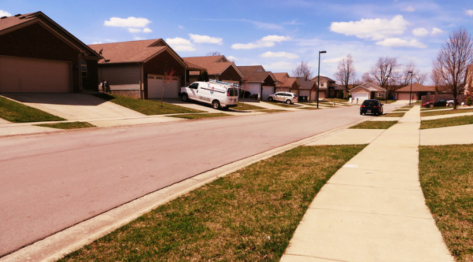
Today’s walk took me to the Saddle Club subdivision near Versailles Road and New Circle Road. This seems like a newer version of the Lakeside neighborhood from Day 39, complete with a large loop. Houses are clearly nice, with some architectural variety.
The overwhelming thing about this area was probably its proximity to the New Circle Road/Versailles interchange. It was noisy, far noisier than yesterday’s walk in a residential neighborhood abutted by industrial uses and a rail line. To top this off, New Circle Road is in the midst of a significant expansion project and the noise and asphalt odors were hard to avoid.
I got a kick out of signs in the Saddle Club area stating “No Overnight Street Parking.” My experiences until relatively recently could not prepare me for this. In some places, parking blocks from home is the price of having a car. I’ve come to think of on-street parking as desirable and even chose my current neighborhood on the basis of the presence of on-street parked cars (though it turns in our case, it’s largely due to the presence of young drivers with their own cars–ah well). It’s nice to remember that not only do some people have different priorities, in some cases they have completely different preferences as well.
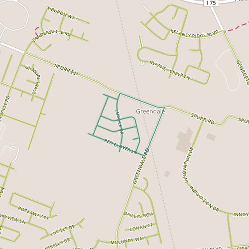
Today I visited Garden Meadows, a little self-contained subdivision located along Spurr Road and Greendale road near Georgetown Road. This is a newer neighborhood and shows some similarities to other newer neighborhoods on this side of the city, particularly a move away from straight cul-de-sacs and toward a slightly more connected network. This neighborhood features a street, Lucille, that pops up further south and it appears the intent is to connect it eventually. I’m coming to believe that a well-connected grid is essential to any true walkability and glad to see that good connections between neighborhoods are being designed in ahead of time.
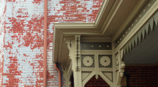
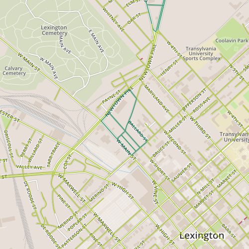
Today took me to a historic area, the Western Suburb neighborhood. I walked through most of the western portion of the area of the neighborhood. Some of the houses in this neighborhood are 200 years old while others are much more recent. My entrance into the neighborhood along Old Georgetown road began with a series of condo buildings that are less than 10 years old. Since the neighborhood is historic, there is more information available than the average neighborhood, including a list of historic buildings in the district from the neighborhood’s website.
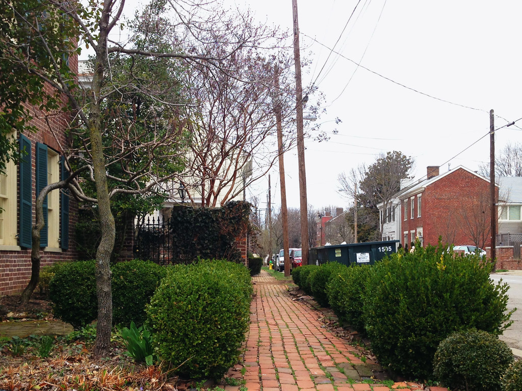
Brick sidewalk in the Western Suburb neighborhood
I imagine that to a certain extent, if you live in a historic district you probably have to imagine yourself as part resident, part curator. In spite of this, this area generally doesn’t feel very self conscious though in certain places it does feel curated. In any case, there are a lot of beautiful houses here and it is worth visiting.
Maybe more interesting to me was the way this neighborhood interacted with with it 21st century surroundings–the car-oriented businesses along Main, industrial property along Newtown, public housing on Second Street. Perhaps not surprisingly, the historic district feels equally impacted by its location in space as its location in history. Here are early 1800’s homes behind a gas station–this is a little jarring. It feels like a panel from R. Crumb’s “A Short History of America”. Nonetheless, this neighborhood feels vibrant and at peace with modernity in a way that many newer neighborhoods don’t.
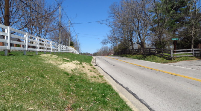
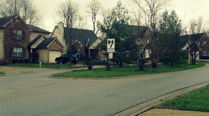
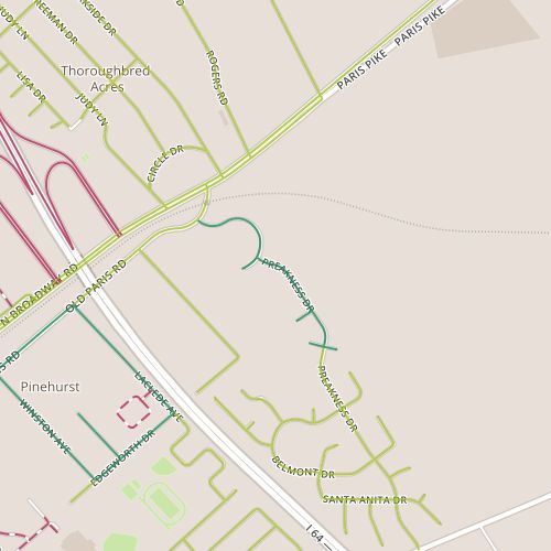
Day 89 took me to the Old Paris Place subdivision, located outside of I-75 along Paris Pike. Most of the houses here are from the early 2000’s, though again I found an older house, this time from the 1930’s, anchors the newer subdivision.
Fresh off a few recent walks in which the tension between car infrastructure and walkability was highlighted, I still was still very conscious of car traffic today. The speed limits on the main routes through the subdivision are 25 mph, as they should be. Cars seem to move faster than this, though, reinforcing the need for psychological triggers to influence traffic speed. In fact, Preakness has a traffic calming median that squeezes the road around a curve, though its impact is apparently limited.
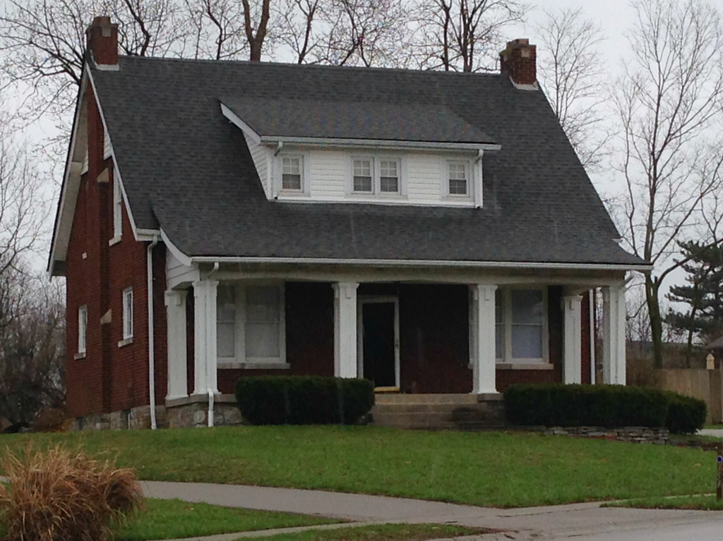
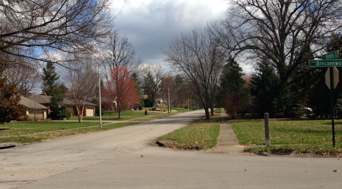
Today brought me back to the Lansdowne area, and my path focused on the northwest side of the Lansdowne/Tates Creek intersection. The houses and lots here are large by urban standards. The landscaping tends to be more wild–not so much of the manicured but bland look that I see in brand new neighborhoods with similar size lots. There were probably enough interesting things to mention on there own, but because of its proximity to two recent multi-modal infrastructure projects, I wound up really focusing on the challenges involved in improving Lexington’s walkability and bikability.
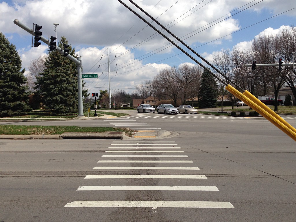
Guy-wire across the crosswalk at Lansdowne and Tates Creek
Lexington recently added a sidewalk to a significant stretch of Tates Creek Road including the stretch I walked along today. The sidewalk is nice, the ramps are designed so that one doesn’t have to angle into moving traffic to cross with traffic. There are some challenges though–note the guy wires strung across the ramp, just barely high enough to give clearance to a 6-foot tall person. Crossing Tates Creek was frustrating because of the timing of the lights and the need to provide long turn signals for traffic turning off Lansdowne onto Tates Creek. There were long stretches of time when no cars passed, especially during the portion of the cycle dedicated to left turns. Breaking the crossing into two stretches across Tates Creek, utilizing the median as a refuge island, could help. I remember visiting Burbank, California and being a little shocked that pedestrians actually waited for walk signals rather than just waiting for a reasonable break in traffic and making a dash for it. I’ve come to attribute this behavior to the fact that short light cycles (made possible, perhaps, by slower speed limits) made waiting for the light less frustrating.
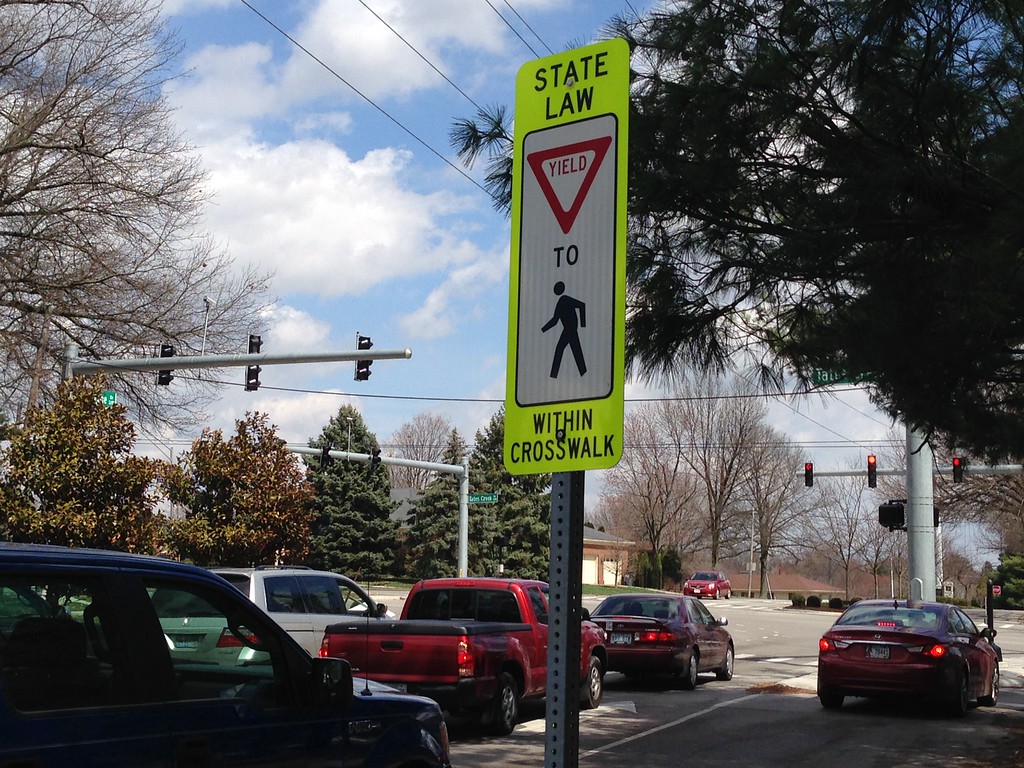
Yield to Pedestrians…but only in the crosswalk?
Pedestrian traffic is frustrating and confusing to drivers, too. My recent return to suburban Denver reminded me of how many more people walk there, and perhaps because of that, Denver drivers pay more attention to things like pedestrians crossing. Not far from here on a recent Monday morning, I watched a woman wait as car after car made right turns in front of her despite the fact that she had the right-of-way. And so, we have signs like this one notifying drivers that yes, they have to yield to pedestrians.
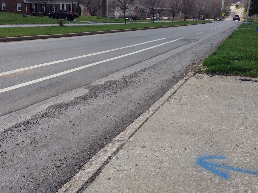
Loose aggregate along Lansdowne.
Last summer, the city painted a bike lane along Lansdowne. This road is a natural bike route and was already identified on biking maps of Lexington as a bike-friendly street (there may have been existing signage as well). I’m glad the city added the lane lines. But again, it exposes some of the challenges, some of the behavior changes that need to occur. Many drivers ignore the lines, sometimes driving for extended periods within not just the first line but also the 2nd line. In the meantime, the curb side of the lane is filled with loose aggregate for long stretches. As a bicyclist, this is a bad mix–a hilly, curvy road with a treacherous surface on one side and operators of 2-ton machines who aren’t expecting to see a bicycle on the other side. There is not a lot of room for error here. If more bicyclists rode along Lansdowne, drivers would probably be more cautious, and when drivers are more cautious, perhaps the road will seem a little less treacherous and more people will consider riding.
City leaders are heeding the advice of bike/walk proponents and moving in the right direction, but it will take incremental, iterative change among ourselves to get the city to become multi-mode friendly.