Category Archives: Uncategorized

Day 79-Thriving public and private spaces

day 79
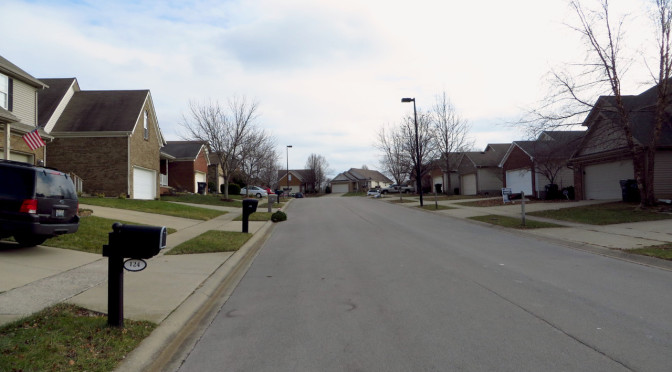
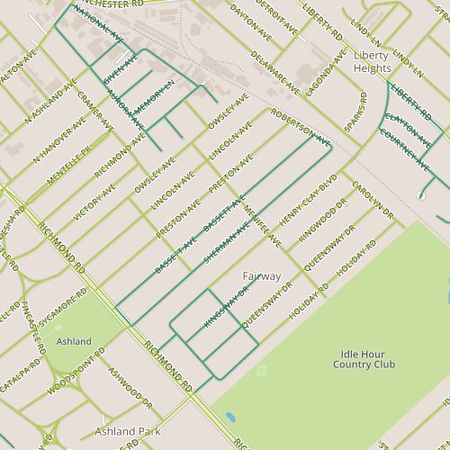
Today, I returned to the Century Hills neighborhood, which I’ve already seen a couple of times, on Days 6 and 58.  (Such is my luck with random path selection).  This section did offer a couple of things I hadn’t seen before.

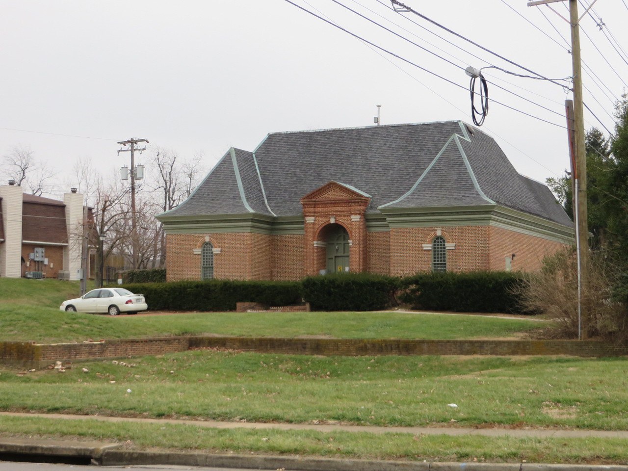
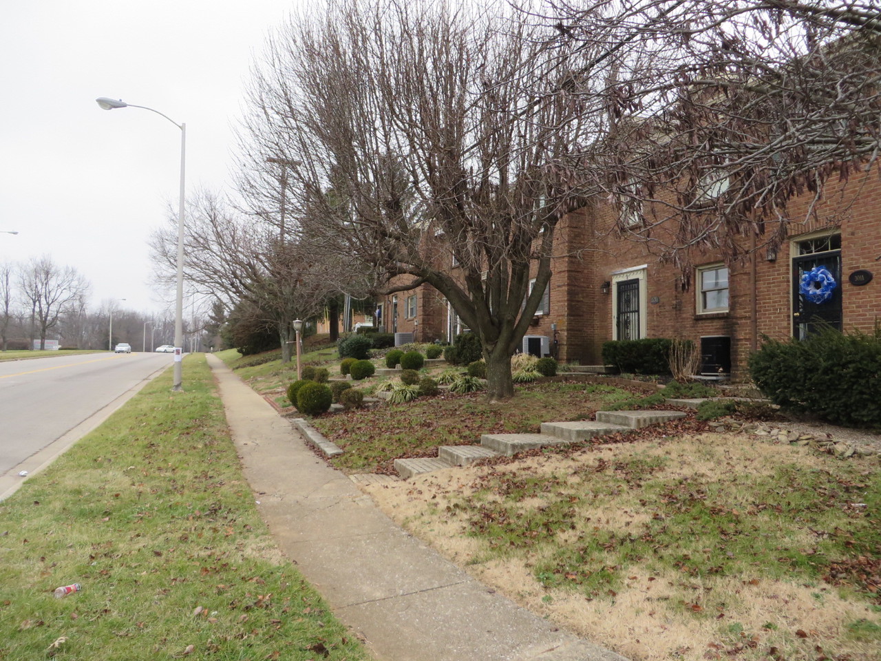
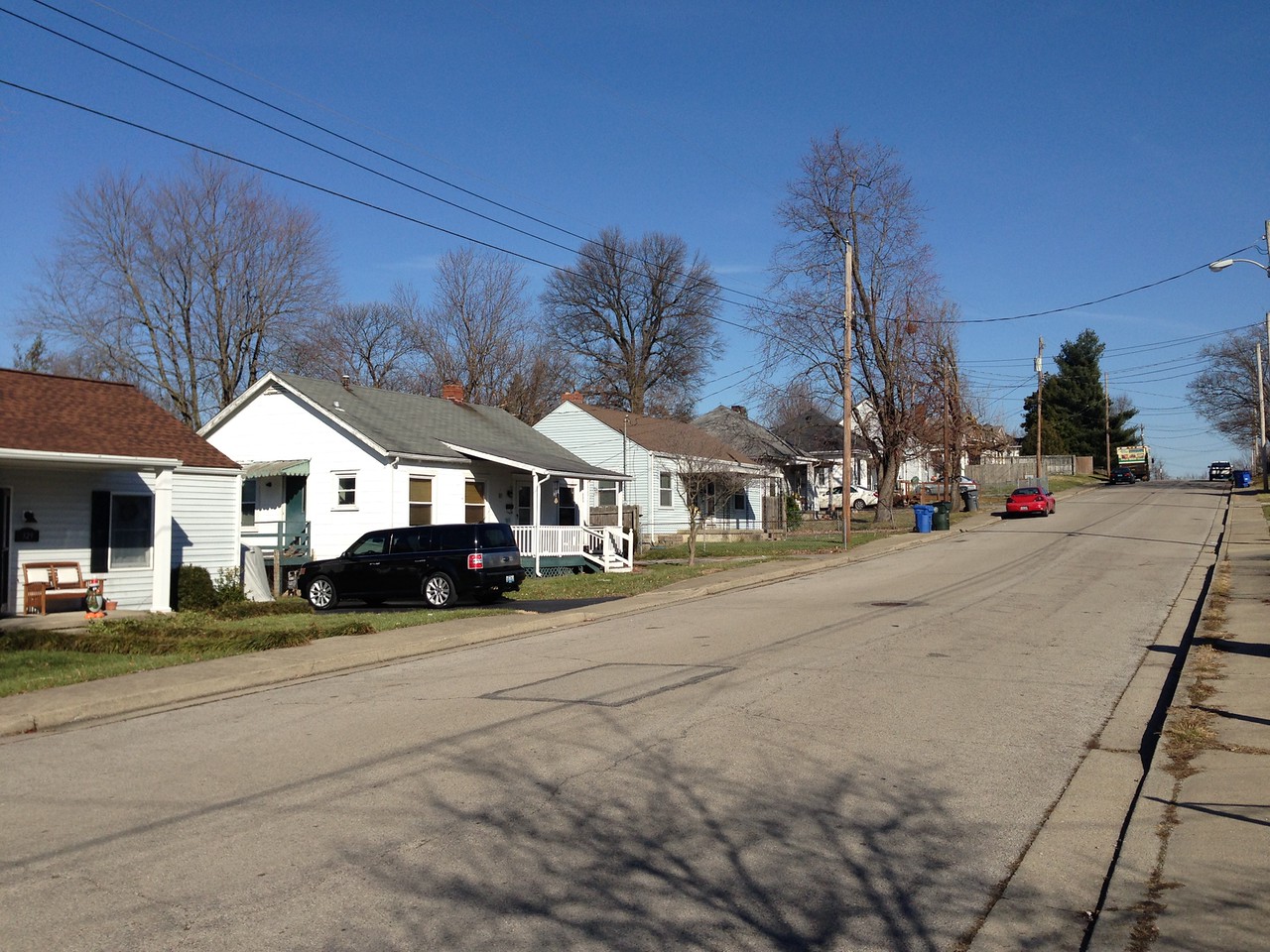
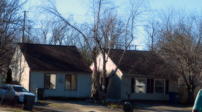
There is a different and more  limited selection of house models, most of which have side gables and side entrances.  There aren’t a lot of garages, so houses have driveways that lead up to the front windows.  The lack of front doors coupled with long blank roofs facing the street is unique experience visually.

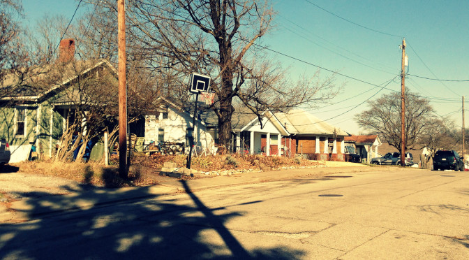
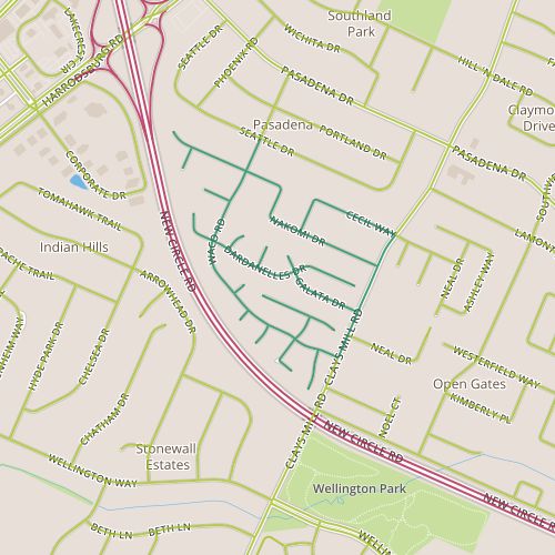
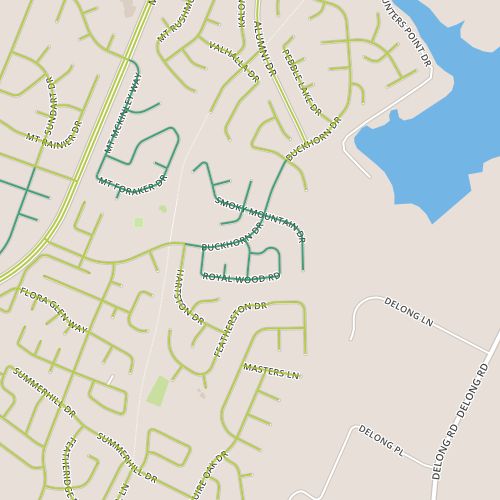
I also had passed the neighborhood shopping center which was bustling. There is a recently constructed outbuilding in the shopping center.  Though it’s vacant, when I passed there were people in the building.  Perhaps it won’t be vacant long. This portion of Buckhorn feels like a hub, with lots of activity including several people on foot despite temperatures in the mid 20s. Buckhorn is also served by a bus line and the Squires Road Trail.  It passes by Berry Hill Park; though I didn’t walk past the park today, I could see construction just underway for a new skate park there.

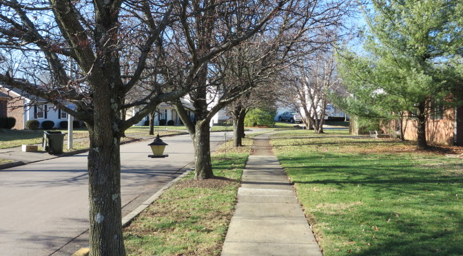
The combination of public space (specifically the park) and retail seems to work together to generate investment and pedestrian trips that one imagines should strengthen the neighborhood.  But while it’s evident here, it’s impact seems to be fairly limited–in fact, I’ve already noted how the sidewalks seem to be taken for granted in one of the nearby portions of the neighborhood.  In light of my recent readings on the impacts of street grids, I’m inclined to think street layout has something to do with this.

Day 78-Suburban Street Grid

day 78Today’s walk was through an area just southwest of Leestown Road near Masterston Station Park.  This appears to be three separate subdivisions, though the bulk of today’s path was in the Spicewood subdivision.  This portion was built out in the early 2000s.  Even though the surrounding areas seem to generally be of a similar age, the area immediately northwest of Spicewood is currently still building and there are a string of undeveloped lots on White Oak.  One of the nice features of this area is that it has two connection points to the Town Branch trail.


One of the access points to the Town Branch Trail.

I was also happy to see that this subdivision and many of its neighbors have moved away from the cul-de-sac philosophy.  Instead of many dead end streets, each street connects to multiple other streets.  One of the benefits is that the distance between two points is likely to be closer relative to two similar points in a cul-de-sac neighborhood, which is especially nice when one of the things you might want to walk to is a trail.

Day 77-Small homes and a large campus

day 77Today took me through a short stretch of high density residential next to some larger parcels including the Ashland Oil Company headquarters campus. It also featured one of the less exciting stretches of Man O’ War.  There isn’t much to surprise here.  I did spot one of the nicer phone company buildings I’ve ever seen.  Instead of the usual windowless box, this building has a hip roof and faux windows to make it less foreboding.

A disguised phone company building at Palumbo and Darby Creek.

The apartments and townhomes are 1980’s vintage and are nondescript. (Did you know there was an apartment complex along this stretch of Man O’ War?  It surprised me!)  Our aesthetics change, and apartments from this era have been impacted particularly negatively by this.  But one complex does a nice job creating a “neighborhood” feel with relatively short setbacks and a consistent presentation toward the street (unlike some of the apartment buildings, which are loosely arranged in space.

Townhomes near Palumbo and Darby Creek

Day 76-The Third Block

day 76My last walk in 2014 passed through the Kenwick neighborhood , northeast of Richmond Road.  This was an exciting walk for me for a couple of reasons.  It’s my first good opportunity to test out a method of covering streets in which I will walk along a set of parallel streets on one day and then cover the intersecting streets at later date.  (There aren’t a lot of areas that have a good string of parallel streets.) On a personal level, this was neat because it took me past a house that looked at and that was at one time high on our list of potential homes.

Sherman Street
Sherman Street

When we were looking at houses, I remember being told multiple times that this was a neighborhood in transition.  Look for a house in the first couple of blocks, closer to Richmond road.  That third block, we were told, was a little rougher.  The character definitely changes as you progress northeast from Richmond toward Robertson and the RJ Corman tracks behind the neighborhood.  The contrast between the first block of Bassett and the third block of Sherman is especially clear.  The houses on the southwest end of each street typically date from the 1920’s or early 30’s.  The houses on the northeast are smaller, and generally seem to have been built in the late 1930’s.  Especially on Sherman, there seems to be a lot of infill, with many houses clearly newer than the 1930’s or 40’s.  There is a lot going on–not only new construction but also remodeling. It may be a neighborhood in transition, but it doesn’t have the degree of tension that I found nearby on Day 17.  I think diversity may have been built in with the variance in housing stock and, since it’s always been there, it’s less of a concern.  It’s perhaps more a lucky accident of timing than anything else, as the Depression certainly had an impact on how these blocks developed.


Day 75-More different than alike

day 75Today, I toured the Pera Place neighborhood.  This area seems to be two fairly distinct areas.  The northern area was built out in the 1980’s, the southern area in the mid 1990’s.  The northern area is interesting in that the architectural style is visually right in between the ranch styles popular in Lexington neighborhoods built in the 1960’s and 70’s and the styles that are present in neighborhoods built since the 1990’s. In addition to the being newer, the houses in the southern area are smaller and a little less illustrative of the progression of housing styles.  The two sections also have different themes for the street names–Southeast European place names in the north and botanical names in the south.  With the addition of some bogeys, there are some interesting intersections–I imagine directing someone to a house near the intersection of Waco and Dardanelles!

Entry signs at the entry to this neighborhood clearly indicate that this is the Pera Place subdivision, but nearby a street signs carry the Pasadena neighborhood badge.  So, the question is, what makes a neighborhood?  As a starting point, I’d like some well-defined neighborhood boundaries.  My home city of Denver has neighborhoods nailed down pretty well, with the neighborhoods there being clearly defined.  Individuals may understand different boundaries or a different name for a given neighborhood,  but a consistent designation exists.  Departments within the city and people who live there can speak the same language.

A recently installed street light entangled with a mature tree. Did no one ask "maybe I should move this over a few feet?"
A recently installed street light entangled with a mature tree. Did no one ask “maybe I should move this over a few feet?”

This doesn’t seem to be the case in Lexington.  The Property Value Assessor’s office seems to have a comprehensive list, but the PVA-Neighborhood field is (based on my experience) probably not well-aligned with names and boundaries that Lexingtonians would recognize and may have too fine a granularity to be useful for demographic purposes.  LexingtonKY.gov has a list of neighborhood associations, but once again, this is an imperfect list with lots of room for overlap and granularity issues.  There are entries for specific addresses; Chenault Road and Chevy Chase both have entries even though Chevy Chase includes Chenault Road.  Wikipedia has an opinion, too, with a list of neighborhoods and links to an external site.  But it may well be incomplete; it doesn’t include an entry for Pera Place (and in case you’re wondering, it’s entry for Pasadena makes clear it applies only to the adjacent neighborhood and doesn’t include Pera Place.  None of these are really satisfying.  I hope I’ve overlooked a good source and someone can point me in the right direction.  Otherwise, this would be a nice gap to fill.

This still doesn’t answer the question about what makes up a neighborhood, something I reflected on while walking though these two distinct areas.  I foresee other opportunities to yank on this thread in the future, so I’ll leave it for now!