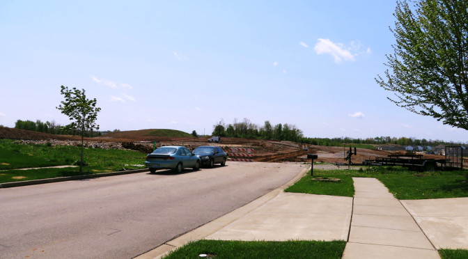
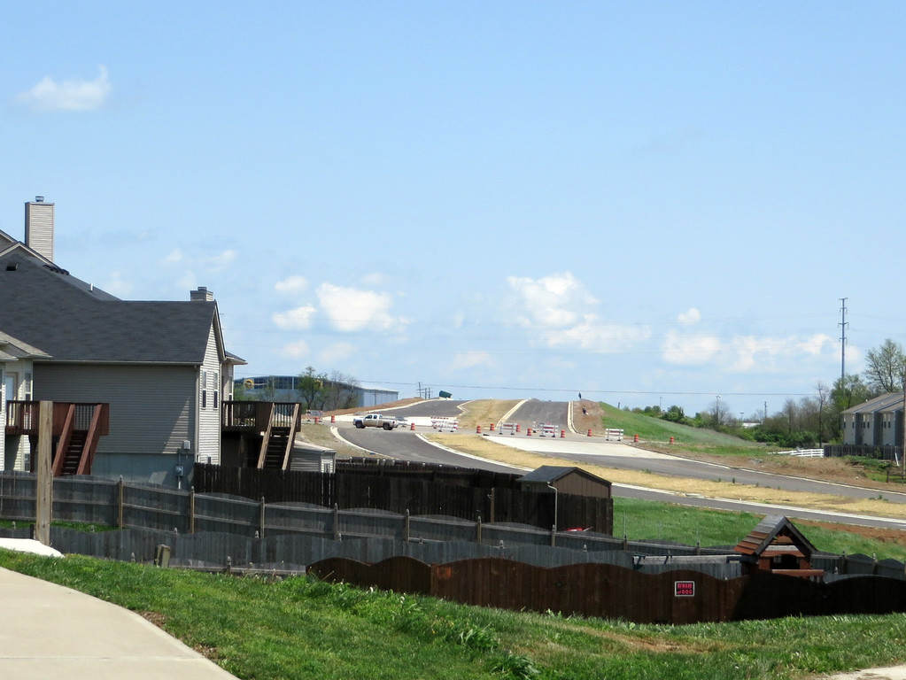
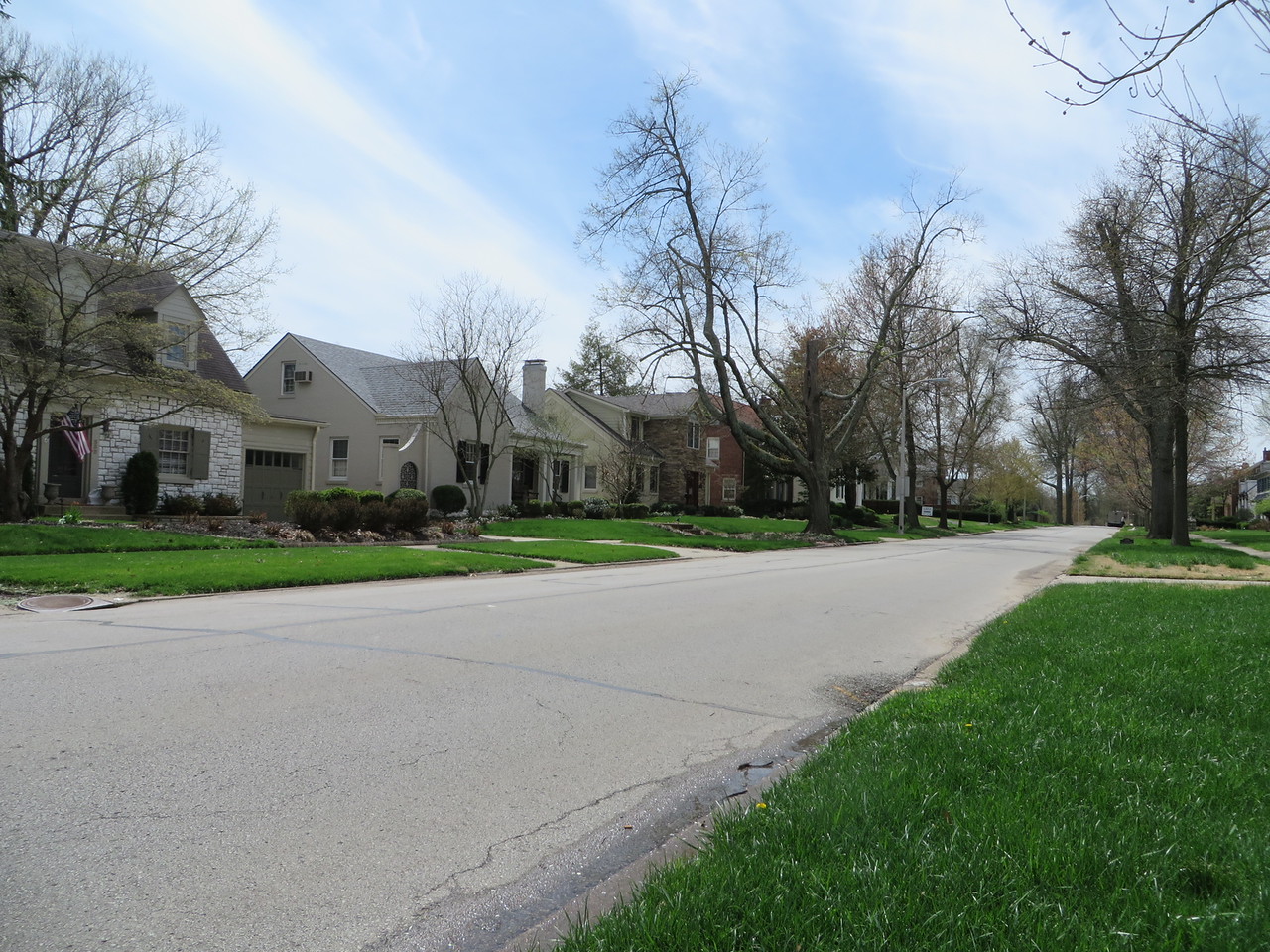
This was an entertaining walk through a neighborhood that is still being built out. In addition to gaps between houses, lots that haven’t been built on yet, preparations are underway for the next addition to the subdivision to the south. Its nice to get a peek at the skeleton of the city under construction. In this case it appears that existing streets are generally to be extended to the south. (This confirms the story told by the current map of the city, and discussed a few days back, on Day 91).
Citation Road Extension under construction
The new Citation Road is also visible from this subdivision, just west of where it crosses Greendale Road. Citation Road is being managed by the Kentucky Transportation Cabinet, which has has details on the project.
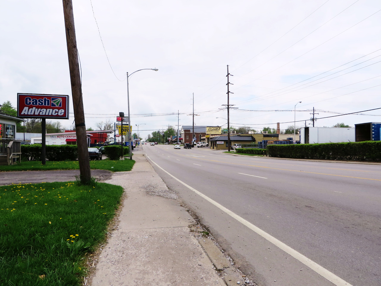
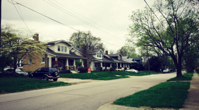
This route passes through a few distinct areas just west of downtown along Versailles Road, including industrial buildings along Trafton, stub neighborhoods along Halls and Devine, commercial space on Sparta and retail establishments along Versailles.
Sidewalk along this section of Versailles has little elevation separation from the street.
The key learning for me came from a short discussion I had with one of the denizens of the area while waiting for a light. I commented on the difficulty of riding along Versailles on a bicycle, as she was doing. She was very matter-of-fact about it. She shrugged and said “you get used to it.” And this is true. Really, this stretch of road isn’t much worse than some streets I walked along frequently not long ago. Which isn’t to say that there aren’t improvements that could and should be made here. It does point out that, terrifying though they may seem, the perception of danger may be amplified by thinking too much about it. It is at least possible to get around by walking along streets like Versailles.
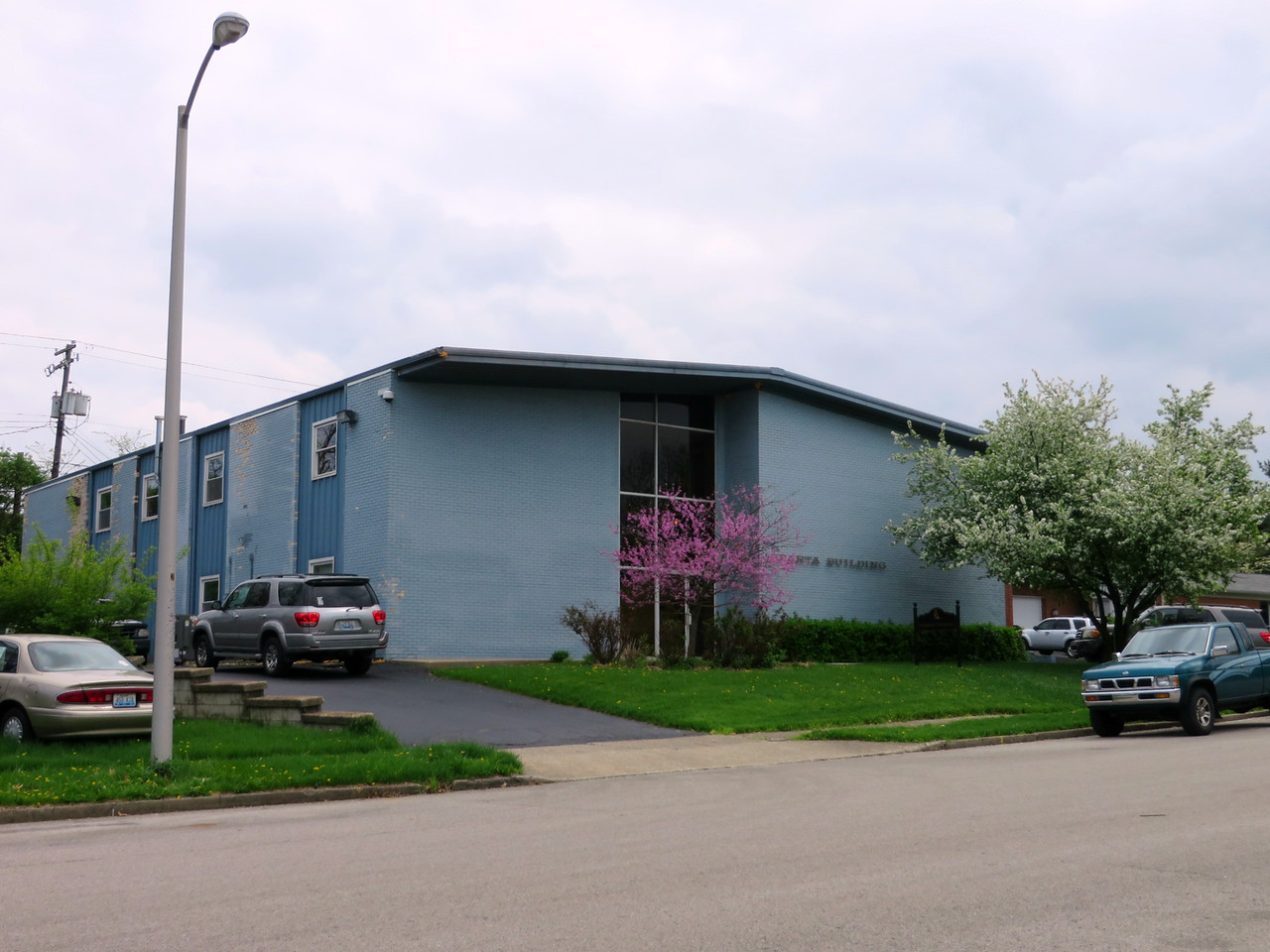
One of a few nice mid-century office buildings along Sparta
Along Nicholasville Road, just south of the UK campus and across from Central Baptist Hospital, there are a series of dead end streets or isolated neighborhoods bordered on the west by Nicholasville Road and on the east by CSX railroad right-of-way. This route walked down the northenmost two streets, Cherokee Park and Suburban Court.
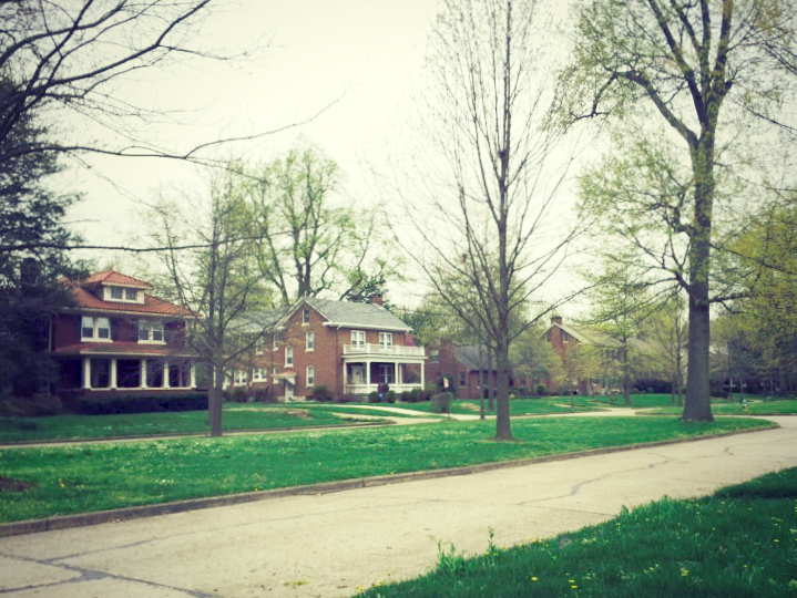
Houses on Cherokee Park are larger; the wide parkway matches the scale.
This winds up being a story of two streets. Suburban Court is nice enough, but not as luxurious as Cherokee Park, which sports larger lots, a wide grassy median, even taller trees. Both streets are long dead-ends (some of the streets further south connect within small neighborhoods even when they don’t provide an easy way across the tracks). But while Cherokee Park ends in a loop with houses backing to the CSX right-of-way, the end of Suburban Court is less subtle, with a couple of warning reflectors and a few thin shrubs. Houses on the other side of the track are tantalizing close. It’s interesting how design decisions made 80 years ago are still apparent today. Good design is undervalued even now–for example, consider two neighborhoods, one with trees placed in the tree lawn by the developer, the other without. How much will the difference in curb appeal be worth, relative to the cost of the tree today? The core of the issue may be an agency problem. The developer has no interest in planting trees without recouping the cost; it’s difficult to justify such things in a cost-cutting environment. Still, the end result is needless differences in structural design between neighborhoods. (Could we ask whether building in such stratification by neighborhood is necessary to begin with? I think so, but that is a question for another time.)
This route took me back to Kenwick, this time walking lengthwise, parallel to Richmond Road, on Menifee and Monroe Avenues. In terms of typology, there’s not a lot to add. These houses are similar to those in the same areas of my previous walk down Sherman and Bassett on Day 76. The houses on the north end of the area I passed through, on Owsley and Marne, tend to be older–1920’s era, then the late 1930’s and 1940’s houses on Sherman but are similar in other ways, rounding out the diversity in housing stock that I proposed made this neighborhood so economically diverse.
I like Kenwick. It’s probably my favorite neighborhood so far. Its relatively regular street network contributes to walkability and its diversity without a lot of obvious tension is unique. Neighborhoods like Kenwick provide insights that planners and developers should take into account in planning future neighborhoods. But it has its problems which should also be addressed. Block length is one. The blocks heading northeast and southwest are long–close to a quarter mile. The northwest/southeast blocks are very short, around 350 feet long. The short blocks are dominated by the sides of houses that front the longer blocks which tends to make these blocks feel more desolate. There also aren’t many destinations that are truly within walking distance. National Avenue is close but still well over half a mile from the average home in the areas I passed by. The shops in the neighborhood are small and their location within the neighborhood rather than at the interface between neighborhoods probably limits their ability to serve as more than a convenience store. And even though there is a community center with a small park, it feels like there aren’t a lot of other public spaces. The net result is to delegate walking to recreational uses, even here.
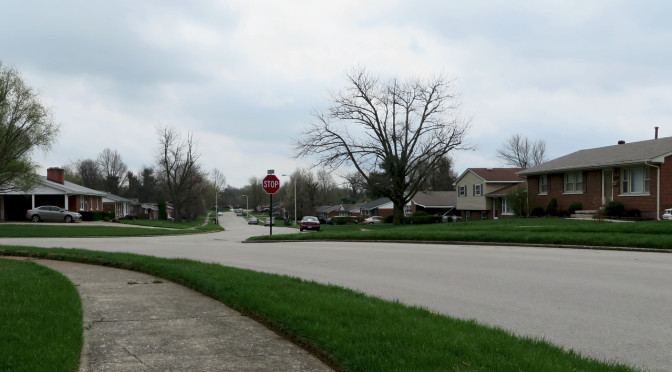
I keep heading into the Joyland neighborhood with high expectations. After all, this is a neighborhood that sits on the site of an old amusement park. It should be fun. This portion of the neighborhood feels much like similar neighborhoods from the 1950’s and 1960’s. There were two things that stuck out to me today. The first is that these streets feel wide, even by the standards of the era. They aren’t really wider than streets in, say, Rookwood. But with low houses, flat lawns and few trees in the tree lawn, it feels wide open. I really want to draw up sectional views of different streets to show what a dramatic impact house height, setbacks and trees can have. The second thing is that neighborhoods from this era feel stuck in time, more so than much older neighborhoods or slightly newer neighborhoods. I’m not sure why this is–demographics may be a factor–though it seems to be fairly consistent.