Tag Archives: 40502

Day 88-Multimodal

day 88
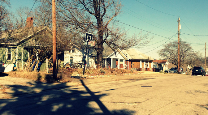
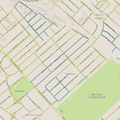
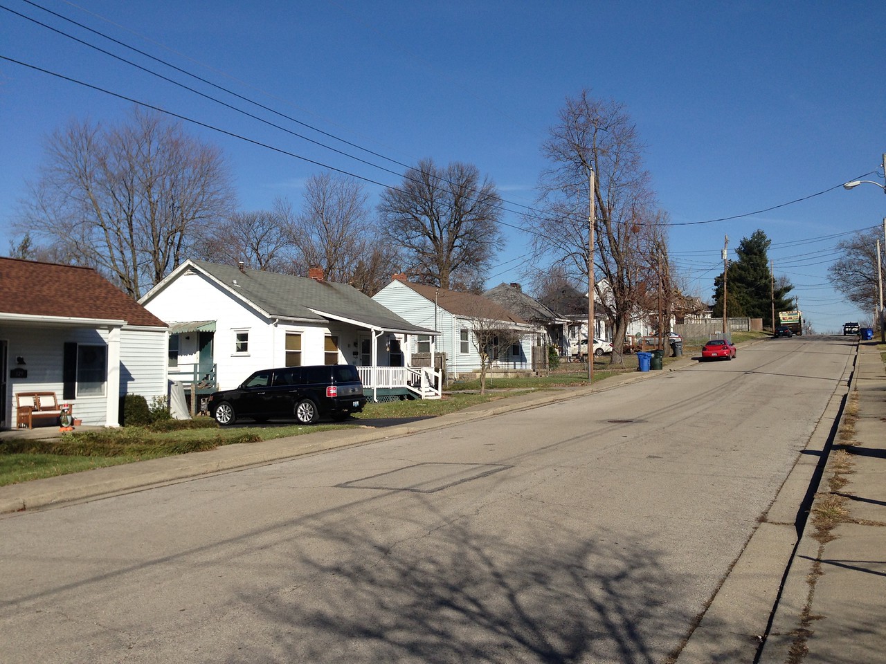
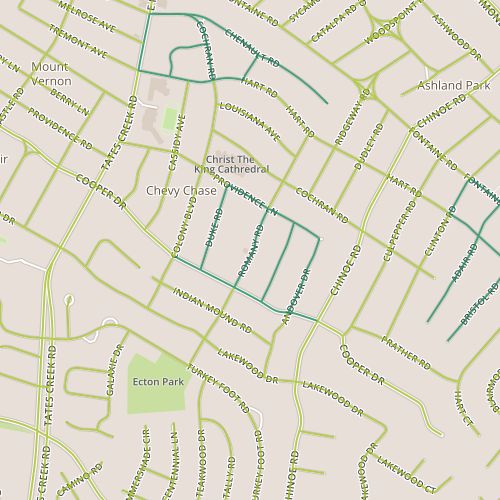
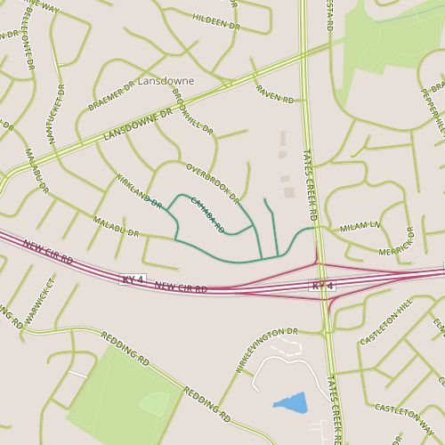
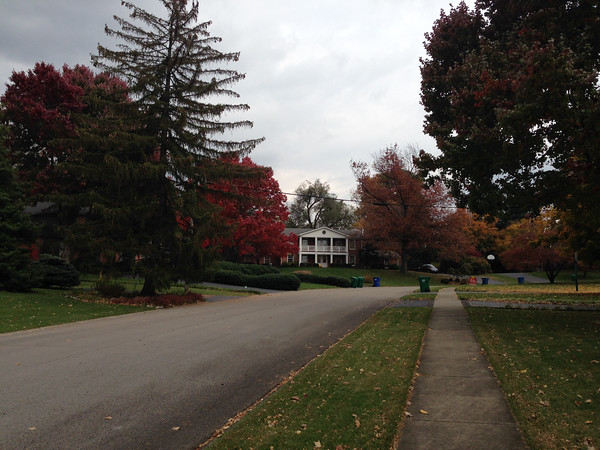
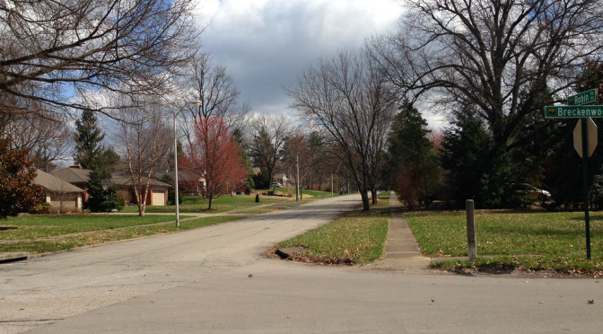
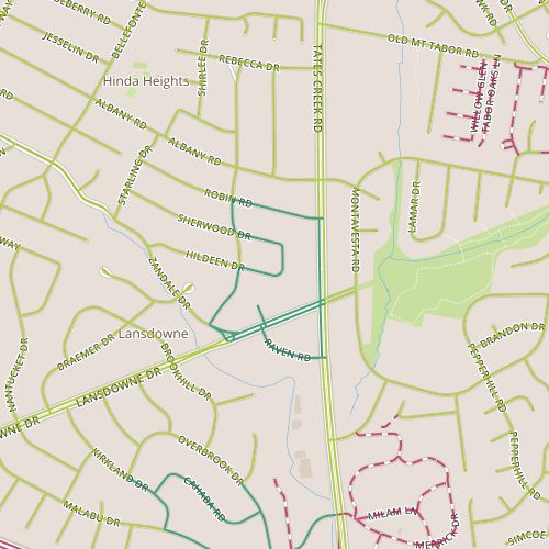
Today brought me back to the Lansdowne area, and my path focused on the northwest side of the Lansdowne/Tates Creek intersection.  The houses and lots here are large by urban standards.  The landscaping tends to be more wild–not so much of the manicured but bland look that I see in brand new neighborhoods with similar size lots.  There were probably enough interesting things to mention on there own, but because of its proximity to two recent multi-modal infrastructure projects, I wound up really focusing on the challenges involved in improving Lexington’s walkability and bikability.

Guy-wire across the crosswalk at Lansdowne and Tates Creek

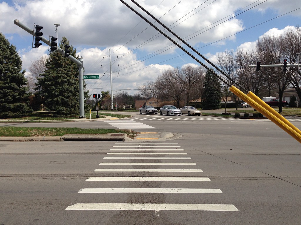
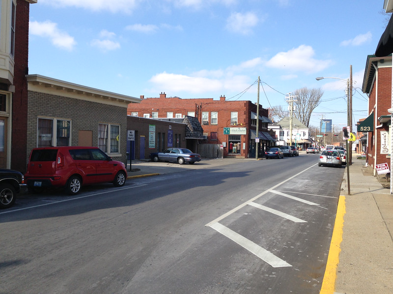
Lexington recently added a sidewalk to a significant stretch of Tates Creek Road including the stretch I walked along today.  The sidewalk is nice, the ramps are designed so that one doesn’t have to angle into moving traffic to cross with traffic.  There are some challenges though–note the guy wires strung across the ramp, just barely high enough to give clearance to a 6-foot tall person.  Crossing Tates Creek was frustrating because of the timing of the lights and the need to provide long turn signals for traffic turning off Lansdowne onto Tates Creek.  There were long stretches of time when no cars passed, especially during the portion of the cycle dedicated to left turns.  Breaking the crossing into two stretches across Tates Creek, utilizing the median as a refuge island, could help. I remember visiting Burbank, California and being a little shocked that pedestrians actually waited for walk signals rather than just waiting for a reasonable break in traffic and making a dash for it.  I’ve come to attribute this behavior to the fact that short light cycles (made possible, perhaps, by slower speed limits) made waiting for the light less frustrating.

Yield to Pedestrians...but only in the crosswalk?
Yield to Pedestrians…but only in the crosswalk?

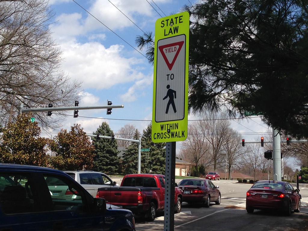
Pedestrian traffic is frustrating and confusing to drivers, too.  My recent return to suburban Denver reminded me of how many more people walk there, and perhaps because of that, Denver drivers pay more attention to things like pedestrians crossing.  Not far from here on a recent Monday morning, I watched a woman wait as car after car made right turns in front of her despite the fact that she had the right-of-way.  And so, we have signs like this one notifying drivers that yes, they have to yield to pedestrians.

Loose aggregate along Lansdowne.

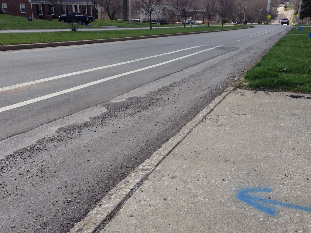
Last summer, the city painted a bike lane along Lansdowne.  This road is a natural bike route and was already identified on biking maps of Lexington as a bike-friendly street (there may have been existing signage as well). I’m glad the city added the lane lines.  But again, it exposes some of the challenges, some of the behavior changes that need to occur.  Many drivers ignore the lines, sometimes driving for extended periods within not just the first line but also the 2nd line.  In the meantime, the curb side of the lane is filled with loose aggregate for long stretches.  As a bicyclist, this is a bad mix–a hilly, curvy road with a treacherous surface on one side and operators of 2-ton machines who aren’t expecting to see a bicycle on the other side.  There is not a lot of room for error here.  If more bicyclists rode along Lansdowne, drivers would probably be more cautious, and when drivers are more cautious, perhaps the road will seem a little less treacherous and more people will consider riding.

City leaders are heeding the advice of bike/walk proponents and moving in the right direction, but it will take incremental, iterative change among ourselves to get the city to become multi-mode friendly.

Day 76-The Third Block

day 76My last walk in 2014 passed through the Kenwick neighborhood , northeast of Richmond Road.  This was an exciting walk for me for a couple of reasons.  It’s my first good opportunity to test out a method of covering streets in which I will walk along a set of parallel streets on one day and then cover the intersecting streets at later date.  (There aren’t a lot of areas that have a good string of parallel streets.) On a personal level, this was neat because it took me past a house that looked at and that was at one time high on our list of potential homes.

Sherman Street
Sherman Street

When we were looking at houses, I remember being told multiple times that this was a neighborhood in transition.  Look for a house in the first couple of blocks, closer to Richmond road.  That third block, we were told, was a little rougher.  The character definitely changes as you progress northeast from Richmond toward Robertson and the RJ Corman tracks behind the neighborhood.  The contrast between the first block of Bassett and the third block of Sherman is especially clear.  The houses on the southwest end of each street typically date from the 1920’s or early 30’s.  The houses on the northeast are smaller, and generally seem to have been built in the late 1930’s.  Especially on Sherman, there seems to be a lot of infill, with many houses clearly newer than the 1930’s or 40’s.  There is a lot going on–not only new construction but also remodeling. It may be a neighborhood in transition, but it doesn’t have the degree of tension that I found nearby on Day 17.  I think diversity may have been built in with the variance in housing stock and, since it’s always been there, it’s less of a concern.  It’s perhaps more a lucky accident of timing than anything else, as the Depression certainly had an impact on how these blocks developed.


Day 62-Walking Distance

day 62I returned to Chevy Chase this afternoon.  This area is a mix of residential with a strong commercial district along this block of Romany and Duke, which includes a grocery store. My first visit to the neighborhood was on Day 33, though this portion of Chevy Chase reminded me a little more of the Southland Drive area from Day 46, with lots of Cape Cods and large front yards.  I’m surprised by the number of multi-family homes here, especially in the form of four-unit apartment buildings. Most of the buildings here date from the 1950’s, though there were some apparently newer places (for example along Providence near Romany).  Even including the apartment buildings, the housing stock here appears to be in good shape, and I saw indications of number of remodel projects of various scales today.

The Romany Road Kroger

This area, with its mix of single family, multi family and commercial seems well-suited to walking, but walkability suffers from some really wide corner radii.  This area (like many others) would benefit from some sidewalk bump-outs.  Bump outs shorten the distance between curbs.  This has two impacts.  One is that it forces drivers to take turns more slowly (giving them more time to spot pedestrians and less lethality if they hit us).  The other is that by shortening the amount of road to be crossed, bump-outs lessen the perception of the street at a barrier.  In at least one place, a solid white line is painted with the intent of making the radius smaller, but lines like these seem to be seen as suggestions or outright ignored by drivers.

Day 61-The more things change

day 61Naturally enough, as one gets closer to downtown and into older areas, uses become mixed.  Day 61 brings me to the Aylesford area, near Woodland Park and past an eclectic mix of early 1900’s houses, houses converted to apartments, botique-y shops in older buildings, businesses in functional mid-century buildings.   There is always a little bit of infill in neighborhoods this old, and it’s hard not to imagine what this area looked like 40 years ago or 70 years ago, especially when you come across street names like “Old Vine”.

Businesses along High street; note parking takes the place of sidewalk.

The amount of surface parking stands out.  Since many of the businesses here are niche businesses, there certainly needs to be a way to get people here and cars are filling that need.  Maybe what stands out is that, given the creative lean of the business mix, the parking is…inelegant, often carved out in front of businesses and creating a strip-mall feel when this could have been avoided.

Apartment entrance
Apartment entrance

I was a little disappointed with the lack of vitality, as well.  There were bright spots, like the decorated cul-de-sac on Preston (highlighted by the cow skull scarecrow seen above). And maybe it’s unfair to judge the vitality of a commercial district based on a chilly November workday.   But a lot of places, businesses, homes, felt like they were kind of phoning it in a little bit.  And maybe this is part and parcel of being a car-reliant neighborhood that was not designed for cars; people are moving, but generally from a store or home to a car parked nearby.  This means there is with no opportunity for window shopping as you might have along a pedestrian-oriented commercial district, a shopping mall or even a strip mall.   The parking requirements displace public space and particularly sidewalks and actively discourage the types of behaviors I expected to see here.  There is no reason to adorn houses or yards, either, and houses here feel more introverted than houses befitting typical suburban typologies.

Nonetheless, and even though this area isn’t a destination in the same sense as say, downtown, it still provides a lot to take in, hints of the timbre of the Lexington creative class as well as its history.

Day 54-Water Features

Day 54Today’s walk took me to Lansdowne, specifically the southwest corner of the neighborhood near Tate’s Creek and Malabu.  This was mostly residential, an area with large lots with ranch houses along with several apartment buildings located along Malabu and townhomes along Overbrook Fountain.  Most of the homes here date from the 1960’s, though the townhomes along Overbrook Fountain were added in the  1990’s and the condos on that street are even newer.  The condos and townhomes had some unique features including an out-of-use pool and an odd fountain, both apparently in disrepair despite their relative youth.

A typical stretch of road in the Landsdowne area

The area with single family homes was similar to some of the Gardenside areas from Day 52, but somehow more inviting, a little more interesting.  The mix of single family and multifamily homes follows what I’m beginning to see is a common formula to try to balance density (this appears in other neighborhoods, including Gardenside, though it isn’t always apparent from my route). One noticeable difference between today and Sunday is that today, I saw people walking, jogging, biking despite the light rain in higher numbers.  Is there something structurally that makes these activities more comfortable here?  Comparing Malabu and Lansdowne to Parker’s Mill, I would say yes.  A defined curb makes these streets feel “slower” and more accessible to bikes and pedestrians (sidewalks help too, along the busier streets).  Combine the setbacks and house heights from those parts of Gardenside where they were ideal with feeder routes that feel as safe as Malabu and you’d have a pretty pedestrian friendly neighborhood.