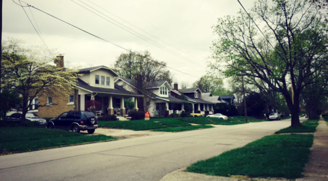
Today was a pleasant day for a walk in the Elizabeth Street area. Elizabeth Street is mostly made up of houses, but these are clearly substantially if not completely used to house UK students. Houses are funky, unkempt, with the standard fare of student life: wicker chairs, houses flying the Jolly Roger. This area registers high on the stimuli meter, with the fragrances from the college kids and a little live music from the guy with a guitar on a porch.
Tag Archives: 40503
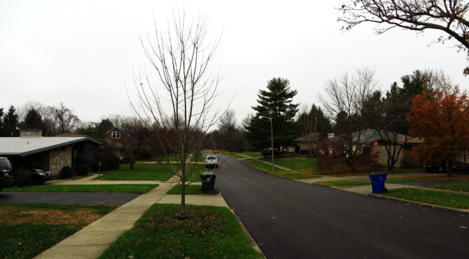
Day 127-Warmth
Today was a cool, wet fall walk in the Crestwood area, just south of the Arboretum. Houses here were nearly universally well-kept, with lots of sprawling ranch houses on large lots. With Thanksgiving behind us and a nice weekend, Christmas decorations are now clearly present. It’s an interesting time of year, as seasonal decorations, and especially “holiday season” decorations, provide a unique opportunity for residents to address the street. While landscaping can provide expression, but seasonal decorations can provide a more positive expression of welcoming. On a chilly, dark afternoon, there are a few things that can make a house look welcoming. It felt like just about any seasonal decoration will do this, but evidence of life behind doors–lights in windows, also helps. This neighborhood did feel warm today–not just the houses, but the presence of a lot of people on the street, walking dogs or just out for a casual stroll, made this possible.
Day 97-Nicholasville Rd Dead Ends Part 1
[load]
Along Nicholasville Road, just south of the UK campus and across from Central Baptist Hospital, there are a series of dead end streets or isolated neighborhoods bordered on the west by Nicholasville Road and on the east by CSX railroad right-of-way. This route walked down the northenmost two streets, Cherokee Park and Suburban Court.
This winds up being a story of two streets. Suburban Court is nice enough, but not as luxurious as Cherokee Park, which sports larger lots, a wide grassy median, even taller trees. Both streets are long dead-ends (some of the streets further south connect within small neighborhoods even when they don’t provide an easy way across the tracks). But while Cherokee Park ends in a loop with houses backing to the CSX right-of-way, the end of Suburban Court is less subtle, with a couple of warning reflectors and a few thin shrubs. Houses on the other side of the track are tantalizing close. It’s interesting how design decisions made 80 years ago are still apparent today. Good design is undervalued even now–for example, consider two neighborhoods, one with trees placed in the tree lawn by the developer, the other without. How much will the difference in curb appeal be worth, relative to the cost of the tree today? The core of the issue may be an agency problem. The developer has no interest in planting trees without recouping the cost; it’s difficult to justify such things in a cost-cutting environment. Still, the end result is needless differences in structural design between neighborhoods. (Could we ask whether building in such stratification by neighborhood is necessary to begin with? I think so, but that is a question for another time.)
Day 75-More different than alike
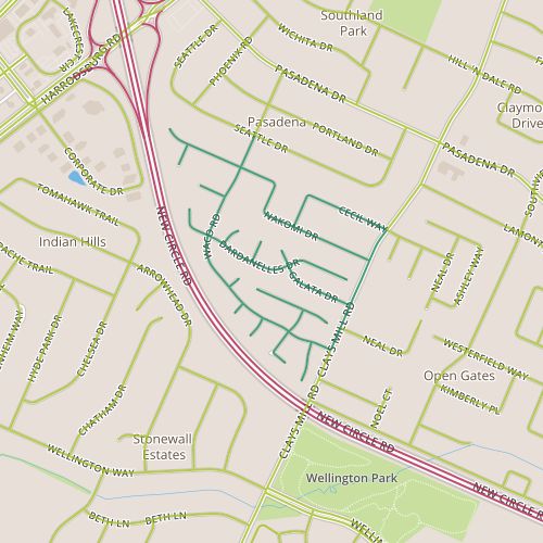 Today, I toured the Pera Place neighborhood. This area seems to be two fairly distinct areas. The northern area was built out in the 1980’s, the southern area in the mid 1990’s. The northern area is interesting in that the architectural style is visually right in between the ranch styles popular in Lexington neighborhoods built in the 1960’s and 70’s and the styles that are present in neighborhoods built since the 1990’s. In addition to the being newer, the houses in the southern area are smaller and a little less illustrative of the progression of housing styles. The two sections also have different themes for the street names–Southeast European place names in the north and botanical names in the south. With the addition of some bogeys, there are some interesting intersections–I imagine directing someone to a house near the intersection of Waco and Dardanelles!
Entry signs at the entry to this neighborhood clearly indicate that this is the Pera Place subdivision, but nearby a street signs carry the Pasadena neighborhood badge. So, the question is, what makes a neighborhood? As a starting point, I’d like some well-defined neighborhood boundaries. My home city of Denver has neighborhoods nailed down pretty well, with the neighborhoods there being clearly defined. Individuals may understand different boundaries or a different name for a given neighborhood, but a consistent designation exists. Departments within the city and people who live there can speak the same language.
This doesn’t seem to be the case in Lexington. The Property Value Assessor’s office seems to have a comprehensive list, but the PVA-Neighborhood field is (based on my experience) probably not well-aligned with names and boundaries that Lexingtonians would recognize and may have too fine a granularity to be useful for demographic purposes. LexingtonKY.gov has a list of neighborhood associations, but once again, this is an imperfect list with lots of room for overlap and granularity issues. There are entries for specific addresses; Chenault Road and Chevy Chase both have entries even though Chevy Chase includes Chenault Road. Wikipedia has an opinion, too, with a list of neighborhoods and links to an external site. But it may well be incomplete; it doesn’t include an entry for Pera Place (and in case you’re wondering, it’s entry for Pasadena makes clear it applies only to the adjacent neighborhood and doesn’t include Pera Place. None of these are really satisfying. I hope I’ve overlooked a good source and someone can point me in the right direction. Otherwise, this would be a nice gap to fill.
This still doesn’t answer the question about what makes up a neighborhood, something I reflected on while walking though these two distinct areas. I foresee other opportunities to yank on this thread in the future, so I’ll leave it for now!
Day 60-Tributaries of tributaries
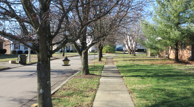
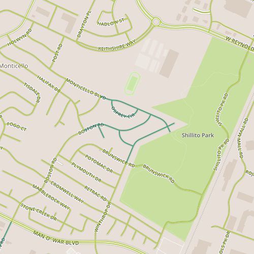 Day 60 took me to the Monticello neighborhood, just west of Shillito Park. This is similar in many ways to the areas I’ve visited the past few days, though this neighborhood is slightly older, with 70’s era “two-story” ranch houses dominating.
We saw our first significant snow fall in Lexington this morning, so I really wanted to capture the snow before it could melt off the trees. The snow certainly has an impact on viewing the neighborhood as well, though, serving as a modulating factor by muting the visual impact of lawns, gardens, roofs.
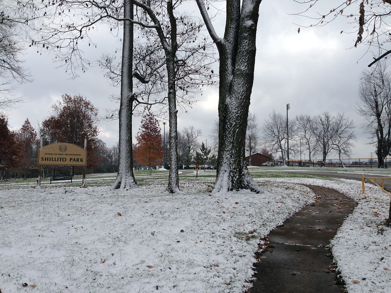
A couple of things stood out to me here. The first is that the sidewalk along Monticello (at least on one side of the street) marches right into Shillito park. This is nice, perhaps a little unexpected as I’m used to seeing a sidewalk built by the last house on a block then end abruptly.
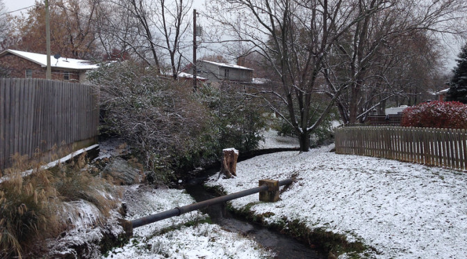
The second feature was the appearance of the South Elkhorn Creek, a tributary of the Kentucky River. The creek is shown above, passing between houses in the neighborhood. I’ve passed over dozens of little streams in my walking in Lexington and it was neat to finally be able to identify one as the headwaters of a creek large enough to have a named watershed. (The Apple Maps application actually labels another stream in this area as “South Elkhorn Tributary”, though I appreciate them being labeled at all!)