Tag Archives: 40504

Day 81-Postwar Walkability in Action

Two unusual buildings in the commercial area near Village and Versailles

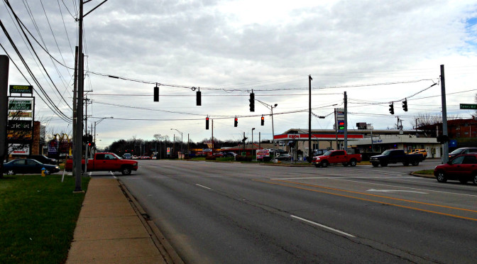
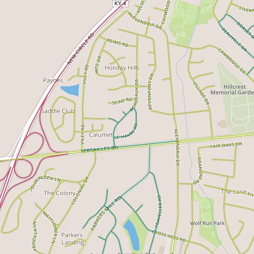
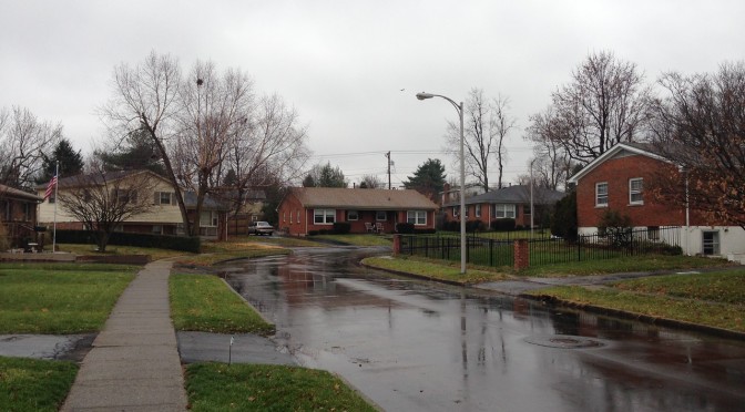
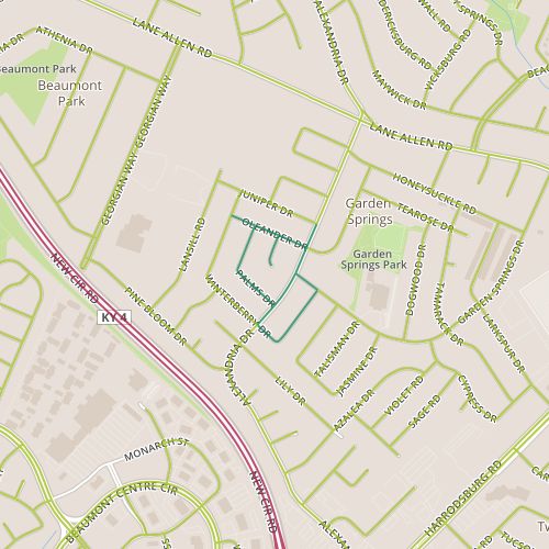
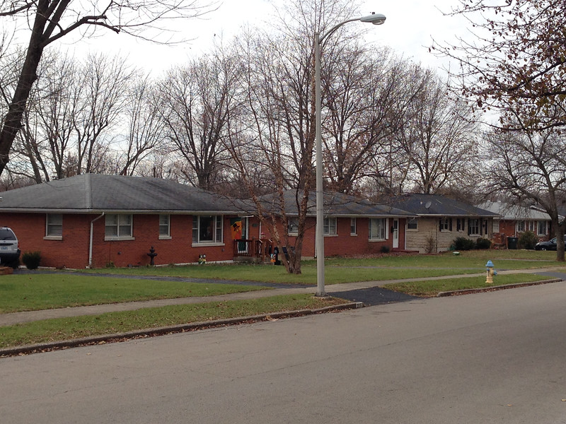
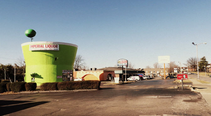
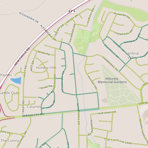
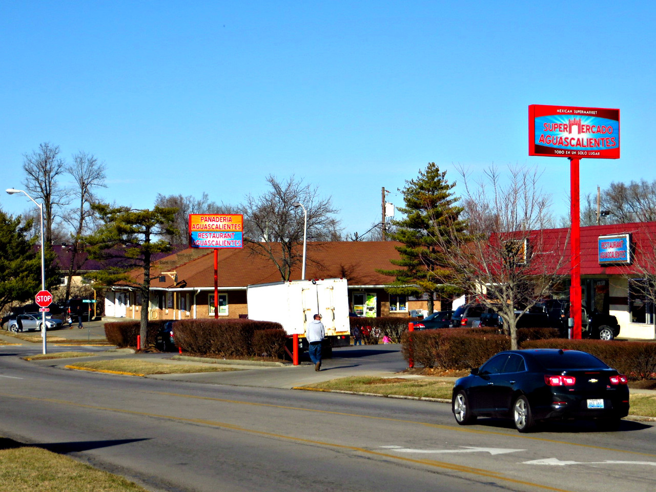
Today’s walk was in the Holiday Hills area, north of Versailles Road and Alexandria.  This area has a mix of retail space along Alexandria and Village near Versailles, apartments, duplexes and single family homes.  It appears to generally have been built out in the 1960s.

Supermarket on Alexandria

I was really impressed by how well this area seems to work.  I passed retail, multi- and single-family housing, a park, bus stops, and even a library.  All of these were being used. The sidewalks were not lacking for people  I think about and talk about walkable access to things like parks, transit, and libraries, but sometimes imaging what it might feel like in practice in an average neighborhood is difficult; defining what how it should word, elusive.  To see it at work in an established neighborhood was thrilling.

A few thoughts on what worked especially well and why:  First, the retail was very focused on the needs of a Latino and Spanish-speaking customer base.  Where most establishments of niche markets have to serve a geographically diverse customer base, these stores seem to have a pretty concentrated customer base.  Second, the retail is ringed by high-density housing, with lower density housing beyond that.  Plentiful nearby high-density housing seems to provide a critical mass of people who are willing to walk to nearby stores, parks, and transit, and this “activates” the sidewalk.  Drivers are cognizant of pedestrians–they expect people to be crossing streets on foot.   So, enough people are walking that walking is actually safer.  Walking seems so natural here. I caught someone leaving there house to walk to some destination as casually as I might walk to another room.  Infrastructure, attitudes, customer base and destinations reinforce each other to make the whole thing work efficiently.

Day 73-Transitions

day 73Today’s walk consisted of a short path through the Holiday Hills subdivision as well as the adjacent stretch of Versailles Road. The neighborhood seems to date from the 1960’s, with familiar ranch houses similar to those in other neighborhoods built at the same time.  Street names in neighborhoods can sometimes be incomprehensible.  The names here were not only consistent (French place names), they also managed to play off the name of the arterial, though of course, we pronounce Versailles a little differently!

The neighborhood didn’t offer much in the way of surprises, though Versailles road did.  Versailles road looks different at three miles per hour, and the transition from the commercial to residential between Parker’s Mill and Bordeaux is more evident.  Residential spaces along major, high-speed roads generally seem to be pretty well shielded by foliage. At 45 miles per hour, the houses may as well not exist as far as most of us are concerned and perceptually, it feels like going from commercial district to, well…, nothing.  On foot (in winter, at least), the houses are visible, and one has plenty of time to wonder, When would it have seemed like a good idea to build a house along Versailles Road?

The end of this cul-de-sac offers a view into an adjacent one.

Versailles has plenty of curb breaks, along the residential section as well as the drive-through-dominated commercial section.  My pedestrian paranoia kicked in while I was walking with traffic–I was concerned a car my approach from behind me and clip me while turning right off Versailles.  It may sound like I don’t have much faith in drivers to spot someone walking in broad daylight, but my paranoia may have been well-founded, as I saw the same man nearly hit twice in a matter of minutes while trying to cross Alexandria and Versailles roads in his wheelchair, both times by drivers making right hand turns and not paying attention.  One vehicle glided through the stop line and missed him by a matter of inches; the driver quickly made sure no cars were coming, then made the turn.  I don’t the driver ever realized someone was there.  And maybe that’s the point.  Survival in this world requires, at the minimum, assuming drivers don’t realize you are there.

Day 70-Gestalt

day 70Today, I visited the Garden Springs neighborhood, along Alexandria near Harrodsburg Road, a 1960’s neighborhood with simple ranch styles.

In the first few weeks I spent walking, it was easy to make imperfect comparisons between the unfamiliar neighborhoods I was walking through and neighborhoods I am more familiar with, generally in other cities.  Over time, I’ve became less compelled to do this.  This stretch of Alexandria, though, reminded me so much of the street we lived on before we moved to Lexington that it’s impossible to not make comparisons.  Both streets are wide, 40 feet give or take a foot or so.  Both are fast for residential streets (Alexandria’s 35 mile per hour speed limit, like most of Lexington’s speed limits, is probably about 5 mph faster than a comparable street in the Denver area), and both probably carry similar traffic loads.  The sidewalks on Alexandria are far nicer; the inclusion of a planting strip makes it much nicer to walk down.

Alexandria near Garden Springs.

But Alexandria feels wider despite the fact it is almost exactly the same width.  The perception that this street is wider makes it more of a barrier. (I felt comfortable strolling across the street to talk to a neighbor, which seems less likely here.)  I don’t know what exactly makes my old street feel less like a barrier than Alexandria; a recently added bike lane may have helped.  It may be that the height of houses relative to their distance from each other across the street contributes as well, as houses in my old neighborhood are slightly taller, and somewhat closer, 100-110 feet apart across the street versus 130 feet here.

Sidewalks cross at intersections, providing separate crossings for each travel direction.

And of course, the sidewalks on opposite sides are further apart because of the planting strip. These seem like small differences, but the perceptual difference is very clear.

Day 67-Written in Concrete

day 67It’s hard to fix mistakes written in concrete.  I came across the words “No More” scrawled in relatively fresh concrete in the drive way of some new structures along Mitchell and behind Harrodsburg near Lane Allen, a 1950’s era commercial district undergoing significant change.  One wonders…no more what?  Is this a response to the buildings, the construction itself–no more McDonald’s?  Or to something else, a protest against police brutality or a complaint about algebra homework?  The mystery is tantalizing, and should grow as it gets older.

IMG_0241-X2
The old McDonald’s is closed.

Jack White of the Raconteurs sings “You wrote our names down on the sidewalk/then the rain came and washed ’em off/So we should write ’em again on wet cement/so maybe people a long time from now will know what we meant.”  And while he wasn’t talking about streets and buildings, it’s interesting to try to put that meaning to it.  The messages we put in concrete today, in the form of roads and buildings, will be with us for generations.  Walking through this 1950’s neighborhood, it’s tough not to think about how society’s preferences–choices made 60 years ago–are reflected in the streetscape, and wonder what the new structures say about us.

Day 64-Hiding Springs

day 64I walked through the Cardinal Valley neighborhood today.  This is a residential neighborhood with small, simple 1960’s era homes.  Though simple, these houses look pretty well built, though not as universally well-maintained as, say the homes in Chevy Chase I passed by a few days ago.

Simple early 60's era houses in Cardinal Valley
Simple early 60’s era houses in Cardinal Valley

The houses I passed by were pretty similar, representing a narrow range of styles and sizes. There is an apartment complex at the front of this neighborhood.  I also passed a school and two churches, located at the back of the neighborhood.  It’s unusual to see churches located deep within neighborhoods; oddly enough, the other place I ran into this was on Day 31, not far from here.  In that case, the church was a Spanish-language church, as these two were.

Near the churches is an inconspicuous entrance to a park which sports the historical marker shown above. I would think it would be neat to have something like this nearby, but every indication was that this park entrance was rarely used.  In fairness, I didn’t venture into the park, which will feature more prominently in future walks, but this would be far from the first place that seemed to shy away from allowing water to be a focal point of open space.  This green space blind spot may stem from the fact that little streams are everywhere in Lexington, which is a good thing. (By contrast, in other places, streams like this have generally been covered over in concrete, though more recently have been benefactors of “daylighting” projects.)  The benefit, then, might be more awareness of the ecological benefits, less taking these spaces for granted; perhaps an incremental decrease in the amount of trash and other pollution that is winding up in streams.

Shopping carts are easy to clean up...all the other trash is a problem.
Shopping carts are easy to clean up…all the other trash is a problem.

How does this happen, within the confines of limited budgets?  I think a little communication could go a long way, starting with improved signage.  (How many parks have entrances similar to this one with nothing more than a “Park Closes at Dusk” sign?)  I love the mystery here…after doing more research and looking at the satellite images of Preston’s Spring Park, I’m itching to get back to this area.  But I’d like to see a little more direction, a simple trail with an online guided tour or at least something explaining why there isn’t a trail here.