Tag Archives: 40505

Day 56-Youth and Wisdom

day 56
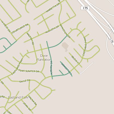
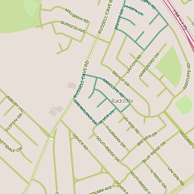
Today I took another trip out along Bryan Station and walked through several smaller subdivisions.  The big surprise here was the variety of housing ages (and sizes) that I encountered over a fairly short stretch with houses from the 1950’s and 60’s next to a subdivision with lots that have not yet been built.

There is a lesson here about growth patterns and maybe about entropy.  This newest subdivision appears to have been cut off a neighboring parcel belonging to a church.  In a lot of ways, this reminded me of the Pinehurst area from Day 16, and oddly enough, this neighborhood is listed under the same “neighborhood” name by the assessor’s office.  The other Pinehurst is close but it’s not obviously connected and my belief at the time I walked it was that it was cut off a privately-owned property (so perhaps using the same name is a simple convention for the assessor?)  But there are similarities, in that both appear to have been divided off larger properties, not exactly as infill but almost having the affect of a small infill project.  Anyway, I think this area’s strength is in the range of housing ages, something made possible by this subdivision of larger parcels.

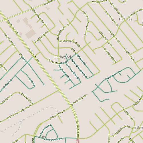
Subdivision of property is interesting though.  It’s never as easy to assemble pieces back together as it is to subdivide.  It usually takes concerted effort.  It reminds me of watching oil in a pot of boiling water while it separates and then recombines.  And so, I would say that watching the development patterns of Lexington  is sort of like watching that oil.  (This is true of any city, really, but particularly Lexington because of the value of the agricultural lands surrounding it.)  Larger parcels get broken down and sometimes these are broken immediately into small pieces like house lots.  Other times they are medium-size parcels, an agricultural reserve, a church, maybe a house with acreage.  These midsized lots can be broken down further and often, eventually, they are.  And this is sort of fascinating.  Looking at the map of this area, there are places where this sort of thing could easily happen again.

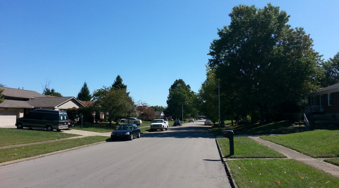
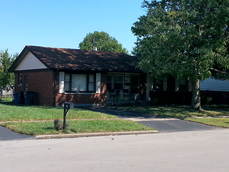
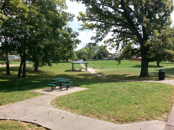
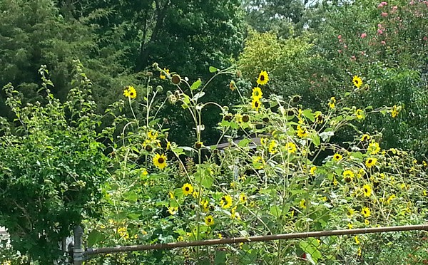
Among all of this, I found among a couple of my snapshots a couple of photos of similar scenes in different subdivisions.  I think seeing these two photos side by side is a nice way to show the impact of setbacks on the “feel” of a street.

View of a street in Northwood constructed in the 1950's
View of a street in Northwood constructed in the 1950’s

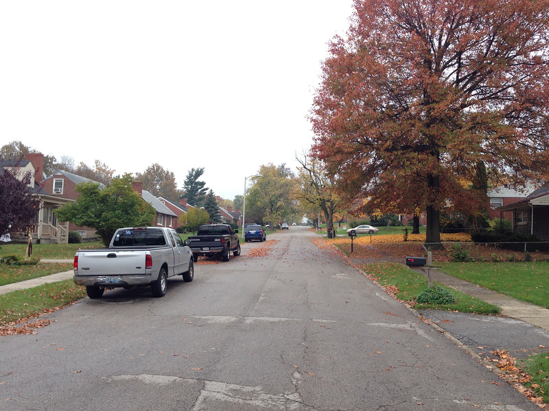
The first photo is from the Northwood neighborhood.  Here the houses are mostly 1 or 1-1/2 floors.  Houses are set relatively close to the sidewalk.  The street feels cozy.

View of a street in Kenawood constructed in the 1960's.
View of a street in Kenawood constructed in the 1960’s.


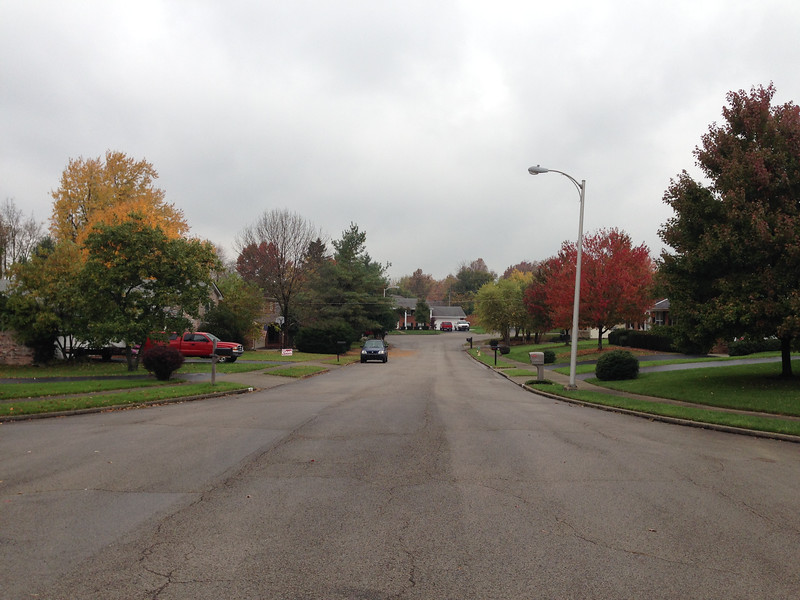
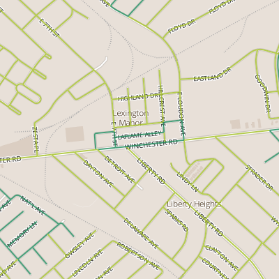
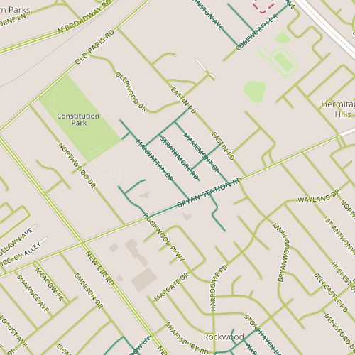
The second photo is from the Kenawood neighborhood, just across Bryan Station.  This area was built only a little later, in the early 1960’s.  Houses are ranch style houses, so they are probably  close in size, but they are set back further from the street.  This street feels more open.  The difference is subtle and other elements, like street-parked cars and trees, have an impact as well.

A final though.  I took advantage of this walk today to walk through the area I first wrote about on Day 5.  One of the questions I had at that time was whether my expectations about political leanings would be borne out by the yard signs that would inevitably appear.  As it turns out, sort of.  That neighborhood seems to be pretty evenly mixed, befitting of the mixed signals I was getting then!

Day 45-Window on the Driveway

day 45Today I returned to the Rookwood area that I first visited on Day 7 although this area appears to be slightly newer, with ranch and “two-story” ranch houses from the late 1960’s.  This section also feels perhaps a bit more stable.  Though the houses are modest, the yards are large and all in all, both homes and yards feel well cared for.  While in some neighborhoods this age, you might see crumbling concrete and asphalt or siding in need of painting, there is none of that here and some places have had nice exterior upgrades.

Converted garage in the Rookwood neighborhood

One feature of houses of this vintage tickles me.  These houses date from the early part of the attached garage era.  Some houses have them and some don’t.  It always seems that at least a few homes from this period have attached garages that have been converted into living space, often resulting in a driveway that leads right up to, say, a bay window.  At any rate, this area is no exception, and there were two or three converted garages.

This area also features what at a glance appears to be a park, located on the southern corner near New Circle Road.  Property records show that this area has been subdivided but list the owner as the city/county government.  Behind this is dense vegetation, apparently right-of-way for power lines, possibly with some drainage function interrelated to the overgrown culverts I saw on the other side in July.

What works: Something is keeping this neighborhood stable.

What doesn’t: These streets are tantalizingly close to connecting to nearby Kenawood park.  Proximity to parks is good or bad depending on who you ask, but I wish they’d been designed with the extra connection.

Day 41

day 41Today took me to another neighborhood with lots of 1960’s vintage ranch houses.  Like several neighborhoods of similar age, it was quiet, both in the sense that it appears stable (there were few, if any, houses for sale in the portion I walked through) and in that it was literally quiet.

I tried something different today.  I’ve been hoping to work trails into the discussion because trails contribute to the walking experience as much as most of the streets I’m walking along.  The difficulty may be in working them into the project, as there isn’t a reliable, unified source for trails.  Lexington-Fayette County maintains and provides data on bike trails, for example, but the data set doesn’t include the park trails I walked on today.

Still, walking through the park gave me an opportunity to think about parks and how they work.  Large parks can be nodes of activity, an interface between communities that invites conflict and serendipity.  Smaller parks that serve limited, more homogenous areas, don’t have that same allure of spectacle even though they may similar facilities.

Dixie park has the standard park equipment plus a small disc golf course.

Dixie Park is on the small side but could benefit from big park allure because of its location within the neighborhood and the fact that unlike many of Lexington’s smaller parks, it’s accessible from it’s neighborhood’s feeder route.  It also has a unique amenity in it’s small disc golf course.

What works: Park located centrally within the Eastland area with connections to several streets.

What doesn’t: School pickup rush hour along the northwest portion of Eastland!

Day 35

day 35Today’s walk was through an odd mix of light industrial, commercial and residential along and behind Winchester Road.  The commercial strip stood out; this stretch of Winchester is generally gritty, the kind of place you go to shop for a greasy part in your car,  not where you would go to find a trendy boutique.  The specific section I walked along featured two nightclubs, two “gentleman’s” clubs and a KFC.  The opposite side of the street has some intriguing businesses that look like the kind of nondescript places where people who know something shop for…vintage pinball machines?  I have to remember to take a closer look at those shops when I return to walk through the area on the south side of the street.

Another feature of this area is a named alley. (I love these.  Who wouldn’t want to have an alley named after them?)  But of course, street names have stories and you can learn from this Herald-Leader column that there was a La Flame nightclub along Winchester from the late 1950’s.

2014-09-04_13-19-24-M
One of the more peculiar sights among the car-oriented businesses was this car with missing and inadequate tires.

This area is surely more interesting at night; I wonder where everyone must park.  Transit in this area is evidently a challenge.  A bicyclist was using the marked bike lane, but minutes later, two vehicles parked in the bike lane so their owners could grab lunch.  Despite the steady number of pedestrians, it’s clear cars own this stretch just out of the sheer number of auto-oriented businesses.

Side note for the geeky: the geographic center of the area I walked today is due south of the center of the area I walked on Day 34; both have the same longitude, to four decimal places!

What works: This short stretch of Winchester has some unique things.

What doesn’t: Parking needs compete with bike lanes.

Day 34

day34Today I visited a neighborhood off of Russell Cave Road called Radcliffe.  The area through which I walked was originally built out over a relative long period stretching from the early 1950’s until well into the mid 1960’s and had a correspondingly diverse range of construction types and styles.  Overall, my impression of this neighborhood was fairly typical for neighborhoods from this period.  It was pleasant to walk through, and probably the most fragrant (or at least, pleasantly fragrant) of any I’ve walked through all summer.  The people I ran into were all pleasant.  And I think the good weather (cool, cloudy, nice breeze) may affect my judgment, it felt shady and cool despite relatively few street trees.

Neighborhoods sometimes have subtle signs of distress, and this one had a few.  Among the many well kept yards, there were a few that were running wild, a few places where liquor bottles were disposed inconspicuously or smashed.  And the neighborhood seems to have some high turnover despite other owners who have lived in their homes for decades, with some houses being sold this year for two thirds of what they were sold for eight years ago.   Though this area seems to exemplify the housing crisis and it’s impact on Lexington, it also feels like it’s close to coming through the crisis.

Though it was very evident here, every neighborhood has its nice yards and its wild ones (and in my neighborhood, to be honest, my yard is one of the wild ones).  Generally, neighborhoods seem to have some self-regulation.  A degree of weediness or wildness may be tolerated (or even preferred) in some neighborhoods while others consist almost entirely of perfectly manicured lots.  And this becomes an interesting psychological question–do residents take after their neighbors in caring for their yards,  or is this self-regulation really the result of people self-sorting into neighborhoods with yards that they themselves would be comfortable maintaining?  And, when this self-regulation breaks down, how does the neighborhood react?  Is their an informal mechanism for correction (which may or may involve a homeowner’s association)?