Tag Archives: 40508

Day 74-Elevated…

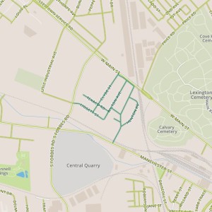
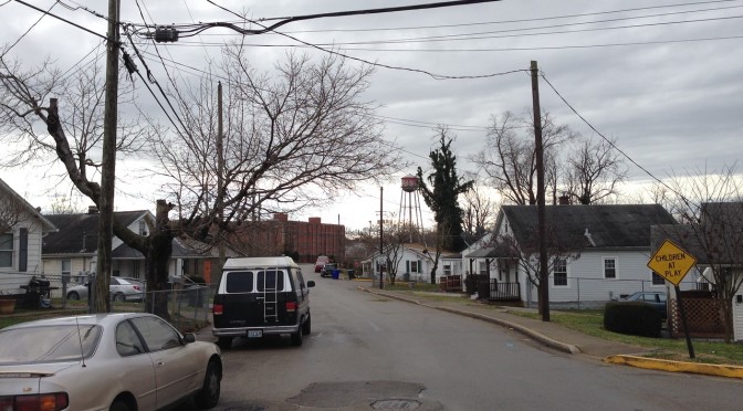
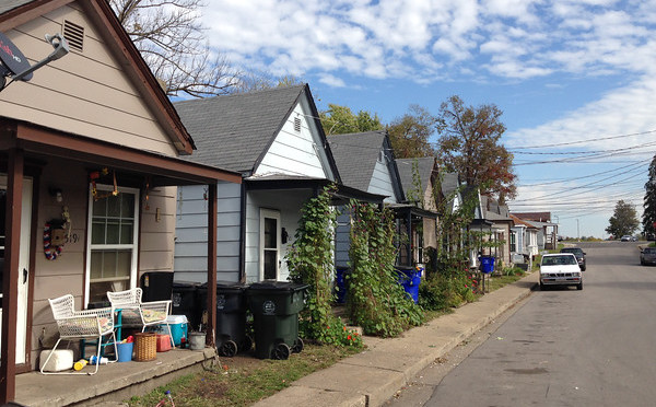
day 74Today’s walk focused on the Melrose Park neighborhood next to Manchester road, near the distillery district.  This neighborhood seems to have been built out in the 1930’s and 40’s, and simple frame houses from the 40’s dominate.  The neighborhood is also sandwiched between the railroad tracks and industrial areas along Manchester and an elevated portion of Main street, perhaps isolated in a similar fashion as the area I visited on Days 23 and 69.
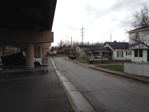
Looking east along Old Main

My favorite part of this walk was the section along Old Main street, past houses that surely predate the elevated Main street.  What a kick in the pants to have faced Main Street, only to have it replaced with a concrete pier.  Yet these buildings have escaped, obstinately continuing to exist and looking good.

This neighborhood appears to be pretty stable but is in an area that is one of the more dynamic I’ve found in Lexington, if not specifically in terms of activity on the ground, then at least in terms of activity on paper.  The Lexington Distillery District was approved as a Tax Increment Financing district, though the application was later withdrawn.  A number of up-and-coming businesses have moved into the area recently, though the area seems to have pinned its hopes on the success of a music venue, Buster’s Backroom, which recently closed its doors.
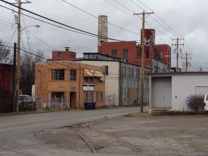
Looking west along Manchester from Thompson Road

Though this is a setback to the district, 2014 was a good year for the Town Branch Trail, which proponents hope to extend from Masterston Station Park, past McConnell Springs, through the district and into downtown Lexington.  Funding for a significant portion of the project has been promised by the governor.  All in all, this reminds me of a Lexington-sized version of The Flats in Cleveland, which appeared poised to turn into a nationally recognized entertainment district before fizzling in the early 2000’s.  The elements are mostly there, but there isn’t enough (yet) to build a critical mass.

Another Art Horse on the Campus of Providence Montessori School

So what does this dynamism mean for Melrose Park?  Specifically, could development, under the guise of cleaning blight, ultimately destroy the current character of the neighborhood?  Simply because the area already seems to draw off the existing industrial areas around it and because the kinds of businesses that are doing well are pretty blue-collar, I would say it is safe.
Day 51-Flexible Centenarians

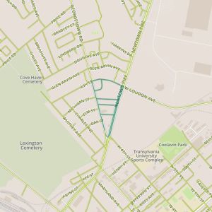
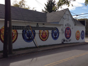
day 51Today took me to a neighborhood officially called Douglas Heights in the Georgetown area of Lexington, an area between Newtown Pike and Georgetown street and across from the Bluegrass Community and Technical College campus.  This area is eclectic, with lots of early 1900’s shotgun houses mixed in with newer structures, some of which have served various functions over their lifetimes.  For example,  one of these buildings was converted from an apartment building into a mosque and though the congregation has since moved, it has retained the building for other purposes, naming it the “Share” center.  Other buildings now serve as stores or churches.

Painted wall in the Georgetown area.

Again, this older neighborhood offers some proof that neighborhoods become more interesting as they age; there feels like a lot of variety, and not just from having buildings from a variety of eras.  Places have differentiated themselves from each other over time in more drastic and varied ways than can happen in a new neighborhood.  This area also offers a richer experience in terms of sense, more smells, more colors, though the short setbacks and narrow lots could contribute to this as well.

What works: this area feel cohesive, the community appears proud (streets are clean; care is taken on presentation of homes to the street.)

What doesn’t:  Lots of landlords, with a ride range in how properties are maintained.


Day 47-Divided on the Mayor

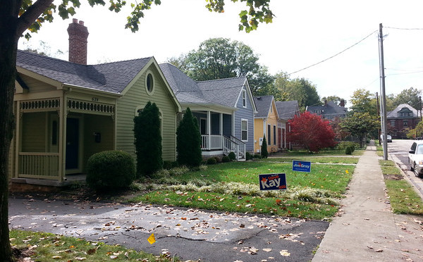
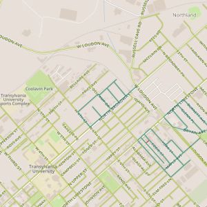
day 47Today took me to the neighborhood near West Sixth and Broadway.  This stretch of Broadway is a commercial corridor, and the neighborhood sits behind it.  It’s an older neighborhood, one of the oldest I’ve seen so far, with many houses dating to the first decade of the 20th century.  There were also some gaps, vacant properties that probably won’t stay undeveloped for long.

As this is the season of yard signs, one thing stood out to me.  This area appears to be split geographically in terms of energized support for the two mayoral candidates, with the older portions to the south and west favoring the incumbent Jim Gray and the (slightly) newer portions supporting the challenger Anthany Beatty.  One could come up with plenty of reasons for this, and it could be a fluke.  I do think Beatty’s campaign slogan is worth some thought.  He claims he will be  “Mayor of ALL of Lexington,” leveling criticism at Gray that he is too focused on the downtown areas at the expense of the suburban and rural parts of the city.  I think it’s a good slogan, getting right to the heart of the problem that planning-oriented or big-project mayors have.  Attention on big projects or urban centers can appear to neglect major portions of the city, and even stakeholders in areas of focus if development may change neighborhood character.

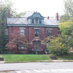
Early 1900's house on West Sixth St.
Early 1900’s house on West Sixth St.

Appearing to neglect and actually neglecting are different things and campaigns rarely have time for nuance.  But Beatty’s signs are pretty widespread throughout Lexington and it’s easy to believe the residents of this area have a good reason to support him.


What works:  This appears to be a cared-for area with character.

What doesn’t: It may be a neighborhood trying to go in  two different directions.

Day 11

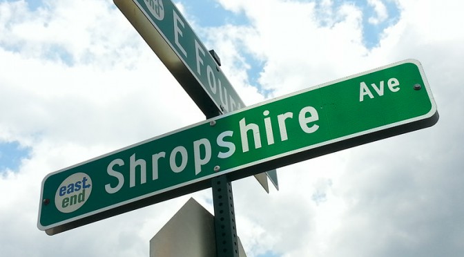
Today took me a closer to downtown, into the East End area north of Midland and east of Third Street.  This was a tale of two neighborhoods, with older houses along portions of Nelson and Withrow and a large infill development in the rest of the area.  There were some perhaps expected contrasts, though the area still felt cohesive; for example, the older houses felt more forward-facing, with fenced front yards and porches.  But the newer houses still exhibit a sense of outward facing-ness, for lack of a better term, for example by keeping their garages as a living space (something that in my experience is unique to this part of the country).

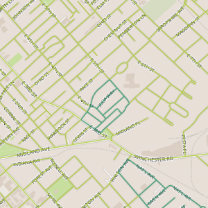
That this area contained a new neighborhood was a bit surprising to me, but it became clear when the 2008 map I used to navigate to the area didn’t show most of the streets. Infill it is, and walking through provides some insight into the successes of the 2009 East End Small Area Plan (and perhaps disappointments, as Third Street still has numerous empty buildings and is still hoping for a commercial renaissance).

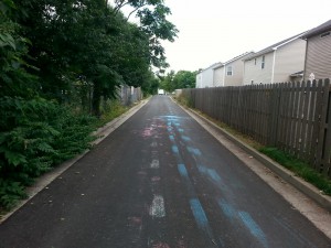
On-street paint disposal plus traffic

My impression is that things are hopeful; the neighborhood feels open, and children seem to be comfortable farther from home than in other neighborhoods I’ve seen so far.