Tag Archives: 40517

Day 105-Ice Harvest

[load]

Do bad neighbors drive down housing values? This question is bound to come up sometimes. Even in the poorest neighborhoods, there are well-maintained houses and yards. But between overgrown yards and packed driveways, this neighborhood feels sad without being exceptionally poor.

Day 94-Rounded Corners

[load]

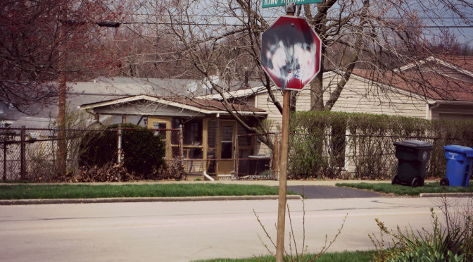
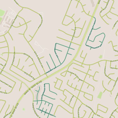
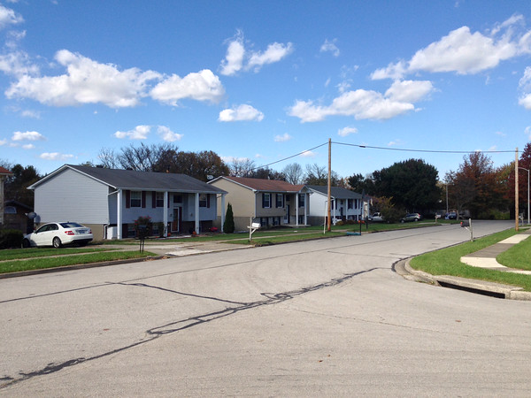
Day 94 brought me to two neighboring subdivisions, King Arthur, and Brigadoon, located along Wilson Downing between Nicholasville Road and Tates Creek Road.  The former consists of small, mid 1960’s era ranch houses while the latter is slightly older with generally larger houses.

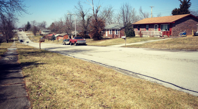
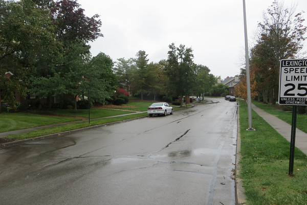
Much as I like to use this project to highlight the little things I like, there are a whole host of things that I think could stand to be fixed.  Today’s walk offers a good opportunity to talk about a few of these. Of course, this era of development is consistently car-oriented but this area shows it particularly clearly.  Camelot Road, which seems to be serve primary to  shunt traffic from the neighborhood between Wilson Downing and Laredo, which then direct traffic out to arterial routes such as Nicholasville and Tates Creek.  Yet this road is given two lanes in each direction along with a median, at the intersection with Tates Creek.  It’s hard to judge this without seeing it at a peak period but it feels like overkill and makes for a very wide 70 foot crossing.  One measure of a street is corner radius, the radius of the curve between the edges (in many cases,  the curbs) of intersecting streets.  A larger radius means a more gentle curve.  Cars have to slow down less to navigate the turn, but the edges of the street become farther away at the corners resulting in longer crossings distances for pedestrians.  Here, the corner  radii are about 25 feet, far greater than they need to be in a residential area with 25 mph speed limits.  Since the large curb radii here allow cars to navigate turns at higher speeds while making pedestrians spend longer in the street, they make walking incrementally less safe.  Curb radii throughout Lexington tend to be on the large size.  The National Association of City Transportation Officials recommends that turning radii greater than 15 feet should “be the exception”.  But the 25 foot radii in King Arthur are smaller than the radii in some newer neighborhoods, a sign that streets are over-engineered.  In the case of Camelot, steep hills and curves decrease visibility, and crossing even this small street can get your adrenaline pumping.

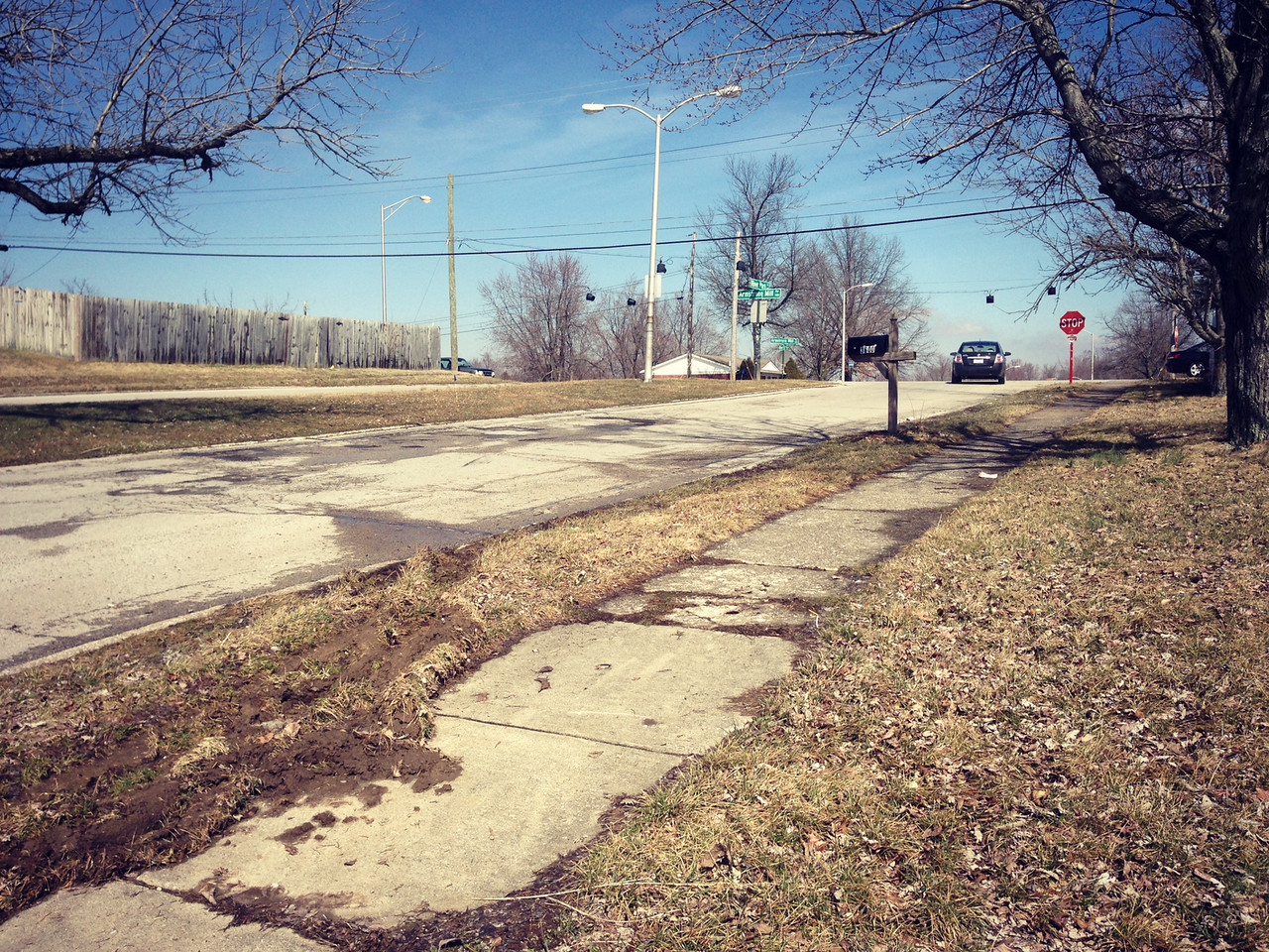
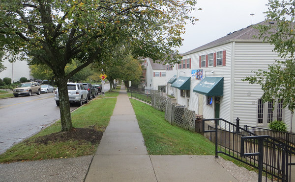
A final observation of the quality of pedestrian experience is that the portion of Wilson Downing that is located behind the King Arthur neighborhood (and across from two schools) is neglected–spaces like it that aren’t fronted by any buildings often are.  The sidewalk was uneven, covered in mud in places and trash in most places including plenty of broken glass.  Particularly because of its proximity to the schools, I hope neighbors can find a way to improve this section of sidewalk!

Day 85-Flag-Colored Fence

[load]

Today was another springlike day.   More melting and the remnants of a rainy day earlier in the week means the city is pretty muddy.  I headed over to a neighborhood along Armstrong Mill just inside of Man O’ War.  This area seems to have been built in the 1960’s, a little older than I expected this close to Man O’ War.  Mud aside, I thought this area felt comfortable.  It lacks the self-consciousness of newer neighborhoods and people feel comfortable doing unique things.  The outward expression of homes is more open, more honest.

You know, I like to highlight things I like about neighborhoods. On some level I feel like I’m on a quixotic quest to find aspects of neighborhoods that remind me of the places I knew as a kid. Thinking about those neighborhoods, there were subtle things my neighbors did to differentiate their homes and yards (or balconies).  These could be visual things: I remember a planter that struck me as “Nevada-shaped.”  Or tactile: a particular stucco wall that was rough to the touch but made up for that by allowing itself to be walked upon.  Or olfactory: juniper and honeysuckle were especially memorable.  Any of these things could serve as waypoints, or make things interesting along routine walks.

The entrance to the neighborhood from Armstrong Mill

This neighborhood provided a similar experience. The mud smell and the juniper contributed to a earthy spring experience that intensified at one corner. The fence on Beaufort painted in flag colors anchored a street that was more expressive that most. Subtle things can play this role as well, especially to the frequent passer-by. This neighborhood has plenty that might qualify for this as well including a peculiar mailbox and someone’s project car.

Day 55-Negative Space

Day 55 Today’s walk took me to a residential area just north of Man O’War near Armstrong Mill Road.  The homes here were a little deceptive, in that I noticed that several houses didn’t have garages facing the street, so I overestimated their age.  The houses here turn out to be “2-story” ranch type houses from the 1970’s and early 80’s.

Homes without obvious garages

There weren’t a lot of surprises here.  This neighborhood seemed to be about in the center of all the informal metrics I’ve been tracking: playfulness of Halloween decorations, political leanings based on yard signs, number of people walking/running/biking.  I think my favorite thing may have been a stretch of sidewalk that had been power-washed to draw sometimes intricate patters on the sidewalk.  I was also intrigued by the topography; houses in the back of the neighborhood had utility poles in the backyard that were low enough to indicate a fairly steep, deep depression.  I think it would be fascinating to see, for lack of a better term, a “negative space” map of the city, showing these backyards that back up to each other and the way utility lines run through the city.

Day 48-Townhomes…and Townshops

day 48I ran into a little bit of fall rain during today’s walk in the Patchen Woods subdivision just southeast of Richmond Road and just outside of New Circle Road.  Overall, it was a nice enough day for walking, with the rain and gray sky bringing out some of the fall color.  I passed through several different areas here, with single family homes, attached homes, apartments and commercial space sharing a relatively short stretch of Patchen Drive.

Fall color on Chippendale Circle

Perhaps my favorite surprise was finding a real alley in this relatively new (1980’s era) neighborhood, an alley that allows not only trash collection but also car storage to be hidden by the houses on either side.  The entire residential area along Chippendale is pleasant.  The mature trees and tall brick facades of the houses give this block a rich feel, but even the portions alongside apartment buildings feel welcoming in a way that apartment complexes usually don’t.  There are other apartments along this stretch of Patchen that are more forgettable, but the scale never feels overwhelming, possibly because none of these complexes have parking lots along the street.

The commercial areas don’t follow this a strictly (parts of Gribbin are faced with parking lots) but the shopping complexes here are probably somewhat unique in their design.  Parking is located along two sides of the complex and on-street parking is available on a third side.  But many of the businesses don’t face the parking lots and some are located on the inside of the complex.  So on a day like today, customers have to walk in the rain for a short distance.  (And of course, they would anyway!)  It was refreshing to see commercial property that allows people to realize they won’t melt if they don’t go directly from paved parking lot to conditioned space.  A second interesting aspect of this area is that the complex buildings look a lot like apartment buildings.  I wonder if they were planned as apartments originally and converted to  commercial space to meet changing demand, though they’re not the only commercial spaces with a strong residential appearance in Lexington.

What works: Human scale helps create a strong connection through the neighborhood to commercial districts along Patchen and Richmond.

What doesn’t: Richmond is so car-oriented, it doesn’t really matter.