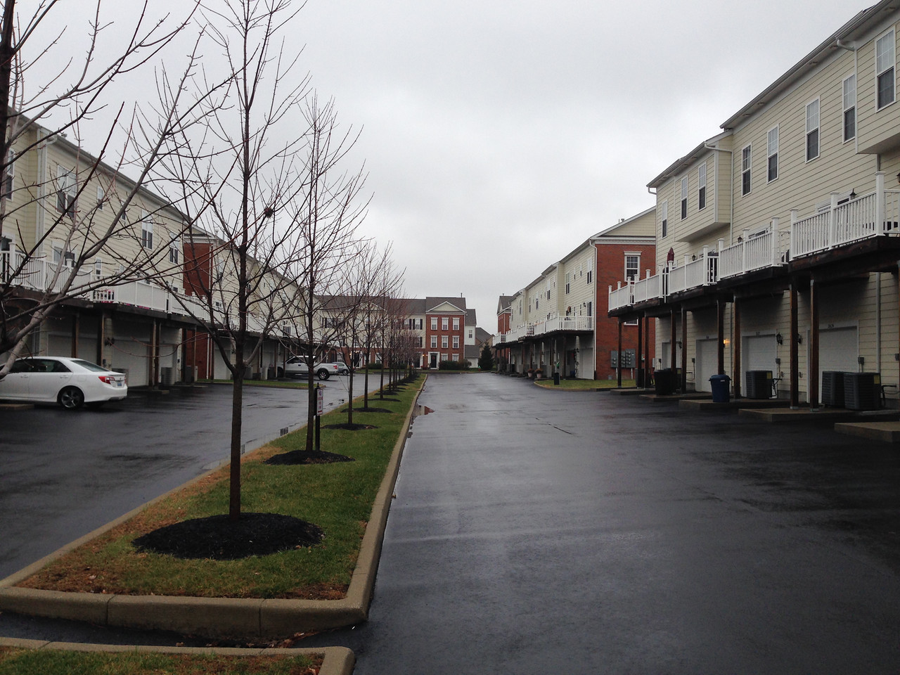
 Today, I went by townhouse-style condominiums in the Hamburg Farms area. These are a relatively recent addition to the landscape; it looks like construction in this area completed in 2008. There isn’t a lot to say about this area; this entire trip was contained withing the complex. I’ve mentioned the parking woes of dense suburban housing before. The issue here is solved by paving space that in other complexes would have been (for better or worse) greenspace; at the time I walked through there were plenty of available parking spaces but very little green.
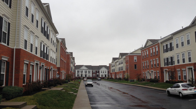
This is a good time to work in a note about the dataset. I’m using street data from the Lexington GIS Open Data “portal” to define streets (and I’ve mentioned before, ideally I’d like to add in trails as well). In some cases, driveways in apartment complexes or shopping centers that are clearly private are in the data set (and maintenance responsibility is identified as private). In other cases, these driveways are not included. The end result is that not everything that looks like a street is a street, and some things that don’t look like streets are. The latter is the case in Hamburg Farms; these alleys look nothing like streets. Though they are named, it’s clear they belong to the complex.