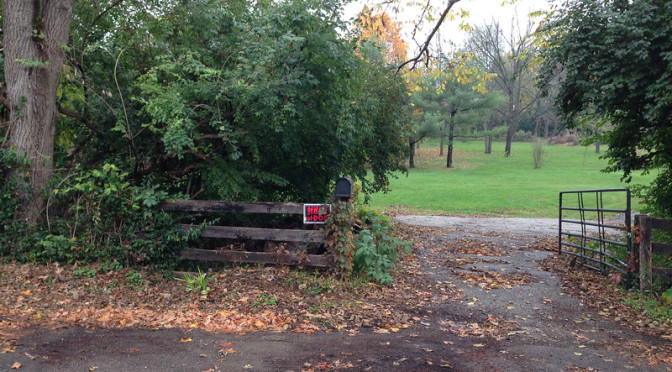
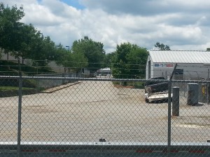
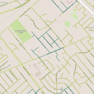
 Today I took another trip out along Bryan Station and walked through several smaller subdivisions. The big surprise here was the variety of housing ages (and sizes) that I encountered over a fairly short stretch with houses from the 1950’s and 60’s next to a subdivision with lots that have not yet been built.
There is a lesson here about growth patterns and maybe about entropy. This newest subdivision appears to have been cut off a neighboring parcel belonging to a church. In a lot of ways, this reminded me of the Pinehurst area from Day 16, and oddly enough, this neighborhood is listed under the same “neighborhood” name by the assessor’s office. The other Pinehurst is close but it’s not obviously connected and my belief at the time I walked it was that it was cut off a privately-owned property (so perhaps using the same name is a simple convention for the assessor?) But there are similarities, in that both appear to have been divided off larger properties, not exactly as infill but almost having the affect of a small infill project. Anyway, I think this area’s strength is in the range of housing ages, something made possible by this subdivision of larger parcels.
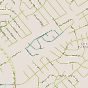
Subdivision of property is interesting though. It’s never as easy to assemble pieces back together as it is to subdivide. It usually takes concerted effort. It reminds me of watching oil in a pot of boiling water while it separates and then recombines. And so, I would say that watching the development patterns of Lexington is sort of like watching that oil. (This is true of any city, really, but particularly Lexington because of the value of the agricultural lands surrounding it.) Larger parcels get broken down and sometimes these are broken immediately into small pieces like house lots. Other times they are medium-size parcels, an agricultural reserve, a church, maybe a house with acreage. These midsized lots can be broken down further and often, eventually, they are. And this is sort of fascinating. Looking at the map of this area, there are places where this sort of thing could easily happen again.
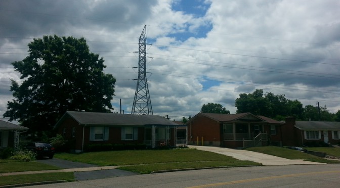
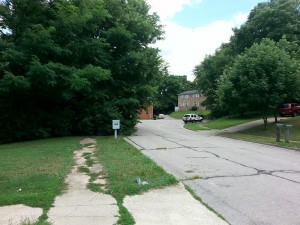
Among all of this, I found among a couple of my snapshots a couple of photos of similar scenes in different subdivisions. I think seeing these two photos side by side is a nice way to show the impact of setbacks on the “feel” of a street.
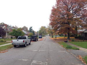
The first photo is from the Northwood neighborhood. Here the houses are mostly 1 or 1-1/2 floors. Houses are set relatively close to the sidewalk. The street feels cozy.
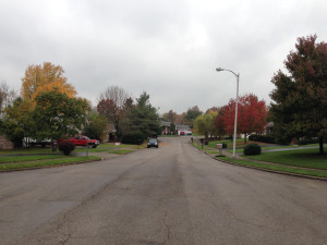
The second photo is from the Kenawood neighborhood, just across Bryan Station. This area was built only a little later, in the early 1960’s. Houses are ranch style houses, so they are probably close in size, but they are set back further from the street. This street feels more open. The difference is subtle and other elements, like street-parked cars and trees, have an impact as well.
A final though. I took advantage of this walk today to walk through the area I first wrote about on Day 5. One of the questions I had at that time was whether my expectations about political leanings would be borne out by the yard signs that would inevitably appear. As it turns out, sort of. That neighborhood seems to be pretty evenly mixed, befitting of the mixed signals I was getting then!
