 Today was a split day, with a portion of my walk through a residential neighborhood just south of Man O’ War called Cove Lake and the rest along the commercial corridor along Richmond Road behind the neighborhood.
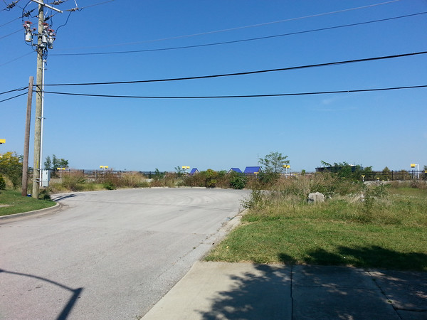
The contrast between residential and commercial is very clear along Lake Wales. This street appeals to me for a reason I can’t put my finger on. It feels as if maybe it is just less self-conscious than most streets. Lake Wales ends in a cul-de-sac, and it’s hard to tell from the map but it sits perhaps 12 feet over the adjacent car lot with a surprising view of brightly colored street lights at shoe level. Here, the sounds of insects is almost loud enough to drown out the sound of traffic passing through what is probably one of the city’s busiest intersections.
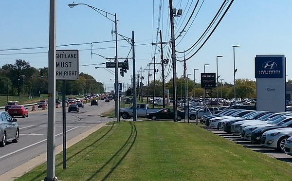
The commercial strip is, of course, image conscious. Besides, the car lot with the yellow and blue light posts, there are a number of fast-casual restaurants tending toward the trendy and up-and-coming, serving food out of buildings that weren’t here a year ago. This being the place to be, the biggest surprise may be that a lot that has yet to be built has signs of a previous building that must have been razed. Winding back on Eagle Creek, literally through a car dealership, puts you back in the older Cove Lake neighborhood.
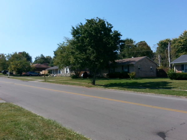
The term “conspicuous consumption” is thrown around often enough to describe luxuries from extravagant phone accessories to large houses. The simple houses here belie a time when the aesthetic was quiet austerity. The tract houses built from the 1940’s through the 1960’s and into the 1970’s were generally simple. Houses along Eagle Creek are very different than the bright new restaurants with visually interesting facades.
What works: The commercial strip is adjacent to the neighborhood but feels buffered.
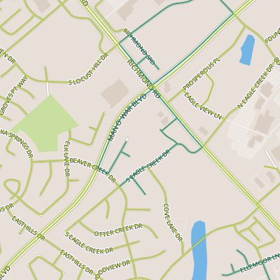
What doesn’t: The maps. Neither map provider I use correctly identified the intersection of Sand Creek and Richmond.