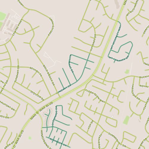
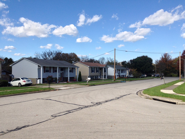
 Today’s walk took me to a residential area just north of Man O’War near Armstrong Mill Road. The homes here were a little deceptive, in that I noticed that several houses didn’t have garages facing the street, so I overestimated their age. The houses here turn out to be “2-story” ranch type houses from the 1970’s and early 80’s.
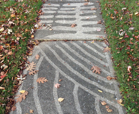
There weren’t a lot of surprises here. This neighborhood seemed to be about in the center of all the informal metrics I’ve been tracking: playfulness of Halloween decorations, political leanings based on yard signs, number of people walking/running/biking. I think my favorite thing may have been a stretch of sidewalk that had been power-washed to draw sometimes intricate patters on the sidewalk. I was also intrigued by the topography; houses in the back of the neighborhood had utility poles in the backyard that were low enough to indicate a fairly steep, deep depression. I think it would be fascinating to see, for lack of a better term, a “negative space” map of the city, showing these backyards that back up to each other and the way utility lines run through the city.