Day 86-Return to Rookwood

day 86
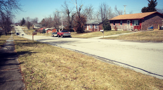
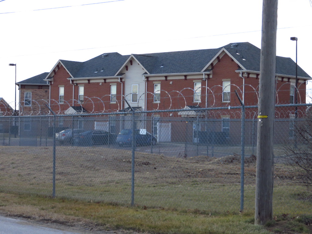
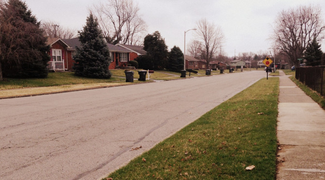
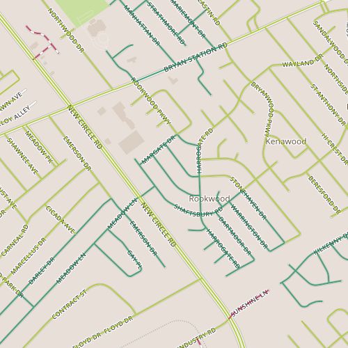
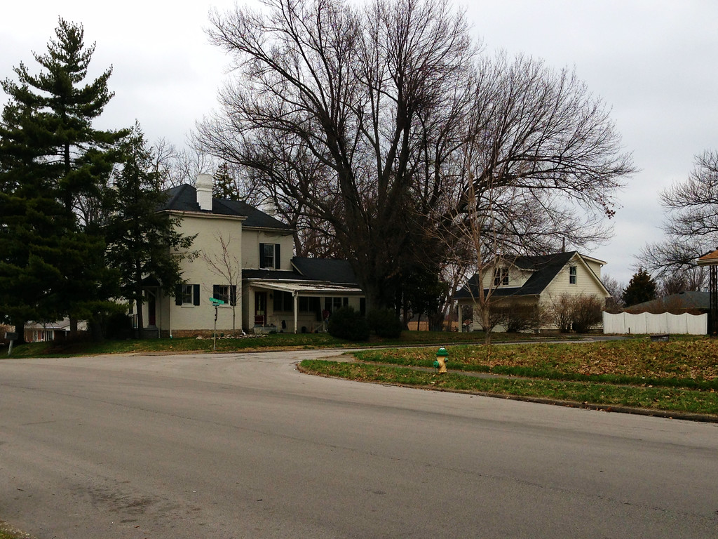
Day 86 brought me back to Rookwood, which I’ve visited twice before, on Day 45 and Day 7.  Today’s walk was similar in a lot of ways to the one on Day 45, including the converted garages.  Today’s walk did pass near an original house in the neighborhood, apparently much older than the 1950’s-vintage houses around it–its always neat to come across these houses.

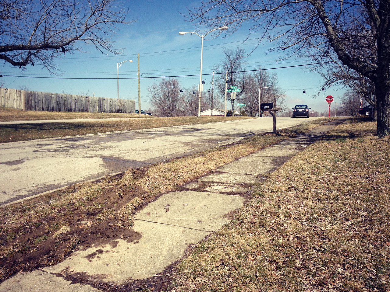
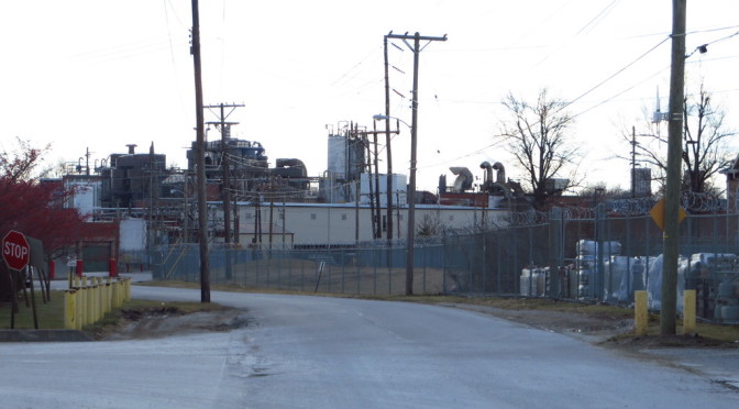
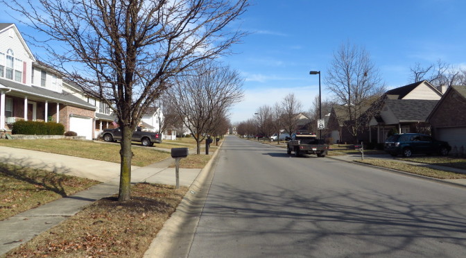
A couple of things struck me today. The first was that the streets here are over-engineered, with posted speed limits of 35mph that are probably faster than they need to be for starters, but which may well be exceeded regularly because the street “feels” faster than 35mph–there aren’t a lot of psychological barriers to going faster.  The streets feel wide, and they are wide at 36 feet.  Few parked cars and few streets in the treelawn area contribute to the wide-open feeling here.  The speed at which cars are traveling and lack of barriers doesn’t just make these streets feel (incrementally) less safe to walk along, it also makes parking on the street feel kind of risky.

An original house in the Rookwood neighborhood

The second thing I noticed is that there were relatively few signs of young kids in this neighborhood.  There may be good reasons for this and of course subjective observations are susceptible to all sorts of errors, but it seems worth mentioning, especially in light of the traffic speed observations.


Day 85-Flag-Colored Fence

[load]

Today was another springlike day.   More melting and the remnants of a rainy day earlier in the week means the city is pretty muddy.  I headed over to a neighborhood along Armstrong Mill just inside of Man O’ War.  This area seems to have been built in the 1960’s, a little older than I expected this close to Man O’ War.  Mud aside, I thought this area felt comfortable.  It lacks the self-consciousness of newer neighborhoods and people feel comfortable doing unique things.  The outward expression of homes is more open, more honest.

You know, I like to highlight things I like about neighborhoods. On some level I feel like I’m on a quixotic quest to find aspects of neighborhoods that remind me of the places I knew as a kid. Thinking about those neighborhoods, there were subtle things my neighbors did to differentiate their homes and yards (or balconies).  These could be visual things: I remember a planter that struck me as “Nevada-shaped.”  Or tactile: a particular stucco wall that was rough to the touch but made up for that by allowing itself to be walked upon.  Or olfactory: juniper and honeysuckle were especially memorable.  Any of these things could serve as waypoints, or make things interesting along routine walks.

The entrance to the neighborhood from Armstrong Mill

This neighborhood provided a similar experience. The mud smell and the juniper contributed to a earthy spring experience that intensified at one corner. The fence on Beaufort painted in flag colors anchored a street that was more expressive that most. Subtle things can play this role as well, especially to the frequent passer-by. This neighborhood has plenty that might qualify for this as well including a peculiar mailbox and someone’s project car.

Day 84-Hibernation

day 84Today was my first day back on the pavement in awhile as travel, viruses and weather have conspired against scheduled walks.  I spent it in the Eastwood neighborhood, near Liberty road and next to the large Gatton property.  This is a 1990’s era neighborhood and very similar to  a lot of smaller developments near it and off of Liberty Road.

Two aspects of today’s walk were notable.  First, though most of the snow that fell last week has melted off the sidewalks, there are still little snow walls or pillars made by shoveled snow from driveways and sidewalks.  In some cases, the snow wall covered the sidewalks, revealing that some people may have shoveled their driveways but not their sidewalks.  Ahem.  The second aspect is that familiar phenomenon in which a spring-like day brings people out.  Despite the sogginess of the melted snow on rain-saturated ground, people were in their yards or out walking.  Good to see.

It’s perhaps worth a quick mention.  The time off was not all for naught.  I’ve made some tweaks to the map, with more perhaps to follow.  I’m also much closer to providing dynamic maps for each post that should better highlight each day’s walk as well as allow more context.

Day 83-Zesta!

day 83I know you’ve always wanted to know what, exactly, is down Zesta Place.  Today’s walk was an exploration of the industrial area surrounding the Jif peanut butter plant on Winchester Road including the intriguingly-named Zesta. (Did someone intentionally name a street that runs by a peanut butter plant after a cracker?)

Apartments located across an industrial property protected by razor wire.

But what lies down  Zesta is about what you’d expect in an industrial area.  You’d probably feel more comfortable on this street in a forklift or a semi.  In addition to the peanut butter plant  there are a number of smaller operations and a sprawling industrial gas distributor.

The former Big Ass Fans location on Winchester Road

Both Zesta and Magnolia feel more like a part of the adjacent industrial operations than public, city-maintained streets (which they are),  and a significant stretch of Montgomery was lined with razor wire fence on one side and barbed wire on the other.  I was actually a little surprised that I received as little attention as I did.  By the time I reached Zesta, I’d actually convinced myself that these were private streets.

Day 82-More new houses

Today, I visited the Masterson Station neighborhood.  The area I visited today dates from the mid- to late- 1990s, with houses a little larger than average.  The area is fairly typical, in terms of architecture, topology, landscaping, of similarly aged neighborhoods.  I liked Masterson Station Drive, which serves as a minor collector road.  Unlike similar streets in similar neighborhoods, Masterson Station Drive is narrower and has a lower speed limit.  It’s more pleasant to walk down and you don’t have to pity those residents of the street who have to pull out onto the road every morning during rush hour.

It seems like there is a surprisingly large number of houses from the 1990s and 2000s in Lexington.  Growth, and especially exponential growth has the ability to do weird things.  Lexington’s population grew from 225,000 people in 1990 to 308,000 people in 2013, a nearly 37% increase over that time.  It wouldn’t be unreasonable to expect total housing units to increase by a similar amount over that period, which would mean that nearly a quarter of all housing units available in 2013 were built since 1990, even without some attrition of older housing.

In reality, the situation is a little more complicated, and housing starts are not solely driven by population. Census data for the South shows that housing starts increased fairly steadily over the 1990s and 2000s, peaking before the housing crisis and then declining rapidly.  The data isn’t granular and can’t be explored at the level of metropolitan area but I imagine this story is familiar–boom and bust. The net impact though may be to confirm my impression that an awful lot of houses (perhaps too many!) were built during the 90s and 00s.

ChartImage-HousingStartsSouthI wanted to visualize housing age in a different way, mapping neighborhood age.  Census data on housing includes median year built at the census block level. (Census tracts are the base level at which the census reports population data; census blocks are subdivisions of tracts, though in many cases they are the same.) I sorted the data into bins by decade and then mapped them. There are problems with this representation.  It doesn’t show margin of error which in some areas can be significant.  It also doesn’t account for density, so while newer areas dominate in terms of area, it’s impossible to draw any conclusion about quantity of housing in any area.  Still, it does provide some insights.  New Circle Road appears to have been a fairly hard edge for development.  Infill development like that in the East End (see Day 11) stands out.

Housing Age 90dpi
Median Housing Age by Census Block (click to enlarge)