Day 81-Postwar Walkability in Action

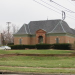
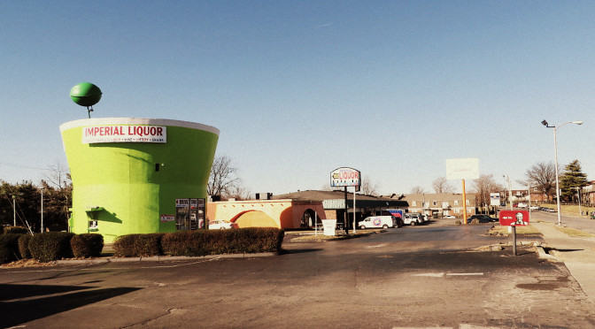
Two unusual buildings in the commercial area near Village and Versailles

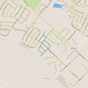
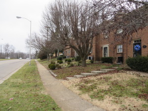
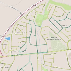
Today’s walk was in the Holiday Hills area, north of Versailles Road and Alexandria.  This area has a mix of retail space along Alexandria and Village near Versailles, apartments, duplexes and single family homes.  It appears to generally have been built out in the 1960s.
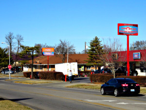
Supermarket on Alexandria

I was really impressed by how well this area seems to work.  I passed retail, multi- and single-family housing, a park, bus stops, and even a library.  All of these were being used. The sidewalks were not lacking for people  I think about and talk about walkable access to things like parks, transit, and libraries, but sometimes imaging what it might feel like in practice in an average neighborhood is difficult; defining what how it should word, elusive.  To see it at work in an established neighborhood was thrilling.

A few thoughts on what worked especially well and why:  First, the retail was very focused on the needs of a Latino and Spanish-speaking customer base.  Where most establishments of niche markets have to serve a geographically diverse customer base, these stores seem to have a pretty concentrated customer base.  Second, the retail is ringed by high-density housing, with lower density housing beyond that.  Plentiful nearby high-density housing seems to provide a critical mass of people who are willing to walk to nearby stores, parks, and transit, and this “activates” the sidewalk.  Drivers are cognizant of pedestrians–they expect people to be crossing streets on foot.   So, enough people are walking that walking is actually safer.  Walking seems so natural here. I caught someone leaving there house to walk to some destination as casually as I might walk to another room.  Infrastructure, attitudes, customer base and destinations reinforce each other to make the whole thing work efficiently.
Day 80-Bucolic

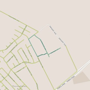
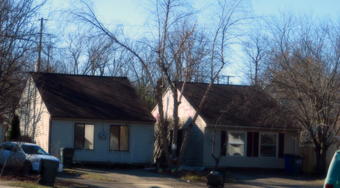
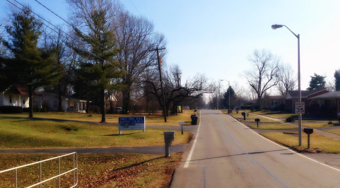
day 80Today’s walk was near the northeastern edge of the urban service area. The edge of the urban service area is very pronounced on the south side of Lexington where it corresponds with the Fayette/Jessamine county line.  On one side, there are densely packed suburban houses.  On the other, there is farmland.   The line is less defined on the north side, where the city blends gradually into country.  Today’s walk was in one of these edge neighborhoods, near the Joyland neighborhood but distinct from it.  The area includes several small subdivisions, including the Mar-Lou subdivision along Wanda with 60s-vintage brick ranch houses, the Elmwood Heights subdivision along Elmwood with smaller, older frame houses, and some unaffiliated houses on deep lots, some nearly a full acre, along the north side of Kingston.

Although each of these stretches are distinct, they all give the sense of being rural rather than urban.  Horses graze on the properties behind houses on Wanda.  Elmwood feels the most suburban, but derives a small-town feel nonetheless, possibly from variety in form (presence of sidewalks or fences, or to a lesser extent, style of housing).  In any case, Elmwood feels nothing like the newer suburbs on the south side.  The setbacks on Kingston are deep–well beyond that of a typical suburb. The takeaway here may be the different ways in which a particular neighborhood feel is accomplished: reference to surroundings, for example the contrast of suburban houses with agricultural land or even contrast between neighbors, is powerful here.

Day 79-Thriving public and private spaces

day 79Today, I returned to the Century Hills neighborhood, which I’ve already seen a couple of times, on Days 6 and 58.  (Such is my luck with random path selection).  This section did offer a couple of things I hadn’t seen before.

There is a different and more  limited selection of house models, most of which have side gables and side entrances.  There aren’t a lot of garages, so houses have driveways that lead up to the front windows.  The lack of front doors coupled with long blank roofs facing the street is unique experience visually.

I also had passed the neighborhood shopping center which was bustling. There is a recently constructed outbuilding in the shopping center.  Though it’s vacant, when I passed there were people in the building.  Perhaps it won’t be vacant long. This portion of Buckhorn feels like a hub, with lots of activity including several people on foot despite temperatures in the mid 20s. Buckhorn is also served by a bus line and the Squires Road Trail.  It passes by Berry Hill Park; though I didn’t walk past the park today, I could see construction just underway for a new skate park there.

The combination of public space (specifically the park) and retail seems to work together to generate investment and pedestrian trips that one imagines should strengthen the neighborhood.  But while it’s evident here, it’s impact seems to be fairly limited–in fact, I’ve already noted how the sidewalks seem to be taken for granted in one of the nearby portions of the neighborhood.  In light of my recent readings on the impacts of street grids, I’m inclined to think street layout has something to do with this.

Day 78-Suburban Street Grid

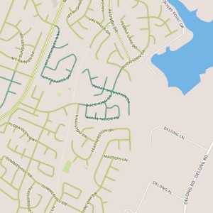
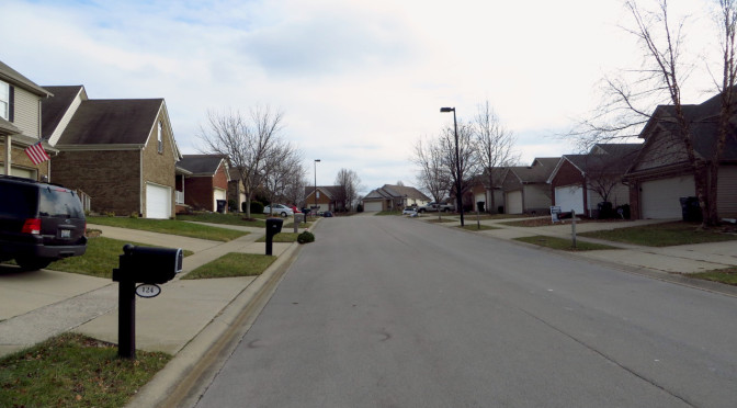
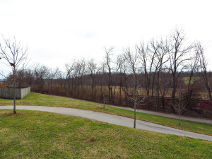
day 78Today’s walk was through an area just southwest of Leestown Road near Masterston Station Park.  This appears to be three separate subdivisions, though the bulk of today’s path was in the Spicewood subdivision.  This portion was built out in the early 2000s.  Even though the surrounding areas seem to generally be of a similar age, the area immediately northwest of Spicewood is currently still building and there are a string of undeveloped lots on White Oak.  One of the nice features of this area is that it has two connection points to the Town Branch trail.


One of the access points to the Town Branch Trail.

I was also happy to see that this subdivision and many of its neighbors have moved away from the cul-de-sac philosophy.  Instead of many dead end streets, each street connects to multiple other streets.  One of the benefits is that the distance between two points is likely to be closer relative to two similar points in a cul-de-sac neighborhood, which is especially nice when one of the things you might want to walk to is a trail.

Day 77-Small homes and a large campus

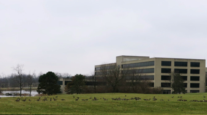
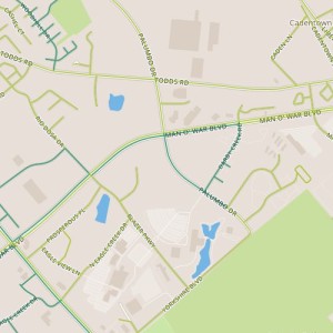
day 77Today took me through a short stretch of high density residential next to some larger parcels including the Ashland Oil Company headquarters campus. It also featured one of the less exciting stretches of Man O’ War.  There isn’t much to surprise here.  I did spot one of the nicer phone company buildings I’ve ever seen.  Instead of the usual windowless box, this building has a hip roof and faux windows to make it less foreboding.

A disguised phone company building at Palumbo and Darby Creek.

The apartments and townhomes are 1980’s vintage and are nondescript. (Did you know there was an apartment complex along this stretch of Man O’ War?  It surprised me!)  Our aesthetics change, and apartments from this era have been impacted particularly negatively by this.  But one complex does a nice job creating a “neighborhood” feel with relatively short setbacks and a consistent presentation toward the street (unlike some of the apartment buildings, which are loosely arranged in space.

Townhomes near Palumbo and Darby Creek