Day 61-The more things change

day 61
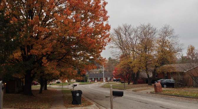
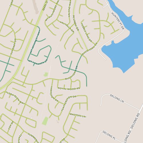
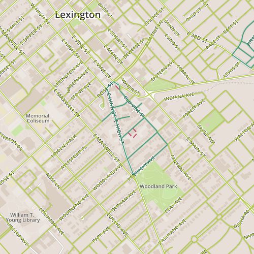
Naturally enough, as one gets closer to downtown and into older areas, uses become mixed.  Day 61 brings me to the Aylesford area, near Woodland Park and past an eclectic mix of early 1900’s houses, houses converted to apartments, botique-y shops in older buildings, businesses in functional mid-century buildings.   There is always a little bit of infill in neighborhoods this old, and it’s hard not to imagine what this area looked like 40 years ago or 70 years ago, especially when you come across street names like “Old Vine”.

Businesses along High street; note parking takes the place of sidewalk.

The amount of surface parking stands out.  Since many of the businesses here are niche businesses, there certainly needs to be a way to get people here and cars are filling that need.  Maybe what stands out is that, given the creative lean of the business mix, the parking is…inelegant, often carved out in front of businesses and creating a strip-mall feel when this could have been avoided.

Apartment entrance
Apartment entrance

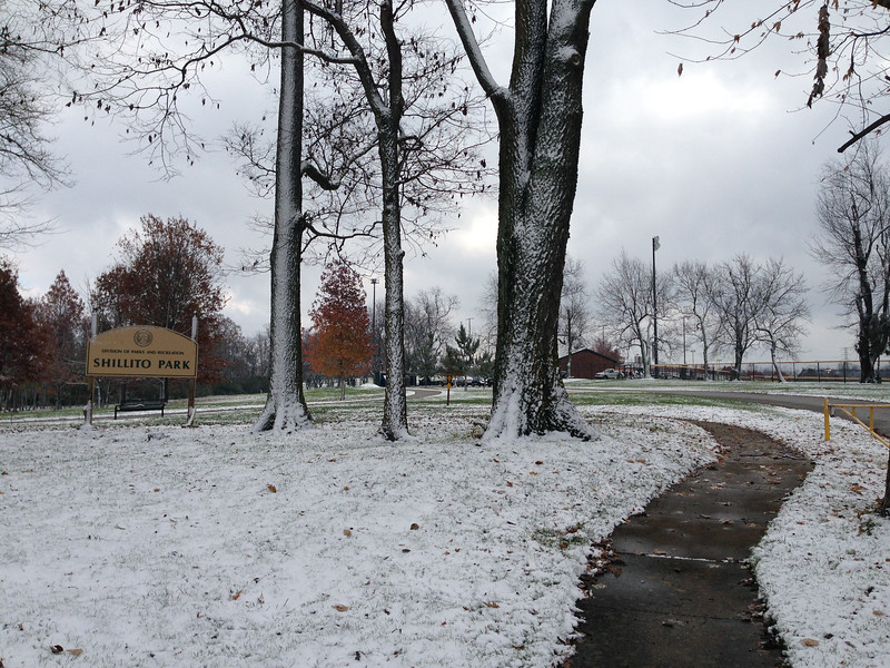
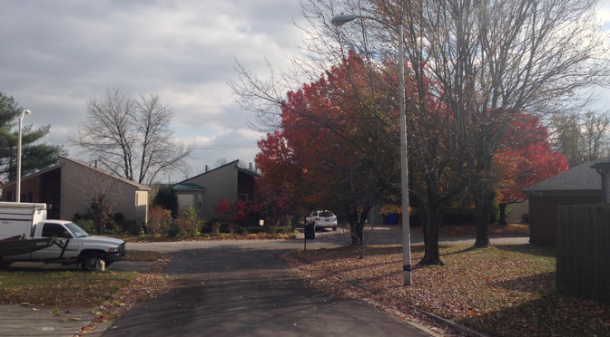
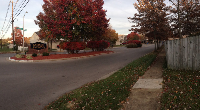
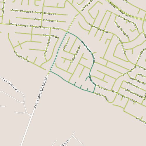
I was a little disappointed with the lack of vitality, as well.  There were bright spots, like the decorated cul-de-sac on Preston (highlighted by the cow skull scarecrow seen above). And maybe it’s unfair to judge the vitality of a commercial district based on a chilly November workday.   But a lot of places, businesses, homes, felt like they were kind of phoning it in a little bit.  And maybe this is part and parcel of being a car-reliant neighborhood that was not designed for cars; people are moving, but generally from a store or home to a car parked nearby.  This means there is with no opportunity for window shopping as you might have along a pedestrian-oriented commercial district, a shopping mall or even a strip mall.   The parking requirements displace public space and particularly sidewalks and actively discourage the types of behaviors I expected to see here.  There is no reason to adorn houses or yards, either, and houses here feel more introverted than houses befitting typical suburban typologies.

Nonetheless, and even though this area isn’t a destination in the same sense as say, downtown, it still provides a lot to take in, hints of the timbre of the Lexington creative class as well as its history.

Day 60-Tributaries of tributaries

day 60Day 60 took me to the Monticello neighborhood, just west of Shillito Park.  This is similar in many ways to the areas I’ve visited the past few days, though this neighborhood is slightly older, with 70’s era “two-story” ranch houses dominating.

We saw our first significant snow fall in Lexington this morning, so I really wanted to capture the snow before it could melt off the trees.  The snow certainly has an impact on viewing the neighborhood as well, though, serving as a modulating factor by muting the visual impact of lawns, gardens, roofs.

The Monticello neighborhood is well-connected to neighboring Shillito Park

A couple of things stood out to me here.  The first is that the sidewalk along Monticello (at least on one side of the street) marches right into Shillito park.  This is nice, perhaps a little unexpected as I’m used to seeing a sidewalk built by the last house on a block then end abruptly.

The second feature was the appearance of the South Elkhorn Creek, a tributary of the Kentucky River.  The creek is shown above, passing between houses in the neighborhood. I’ve passed over dozens of little streams in my walking in Lexington and it was neat to finally be able to identify one as the headwaters of a creek large enough to have a named watershed.  (The Apple Maps application actually labels another stream in this area as “South Elkhorn Tributary”, though I appreciate them being labeled at all!)

Day 59-Clusters, not blocks

day 59 Today took me to an area near Woodhill park, not far from the area I visited on Day 3.   On that day, I actually walked through two distinct areas, the southernmost of which was the same neighborhood, Shadow Wood, that made up all of today’s walk. This area was built in the 80’s and a common design is a shed roof or a similar offset roof that is unique.  Many of these homes still have wooden batten siding that I assume was originally present throughout.  Most houses have been upgraded to vinyl siding.  Another feature of this neighborhood is that the layout results in clusters of houses more than blocks of houses (especially on the west side of Woodhill), where clusters along a street are essentially connected at the back.  This is similar to the neighborhood from Day 19.   Most houses feel like they have multiple “next door” neighbors.  This may or may not have resulted in an increased sense of community, but it seems like a neat experiment.

One of the neat things about this project will be seeing the same neighborhood at different times of year to see how it changes.  Generally, yards are a neat communication tool, a projection of the occupants.  Sometimes blending in or simply being unintrusive offers as much information as standing out.  Gardens and lawns have already taken a back seat to seasonal decorations (and it’ll be interesting to see how different residential areas address the dismal depths of winter, after Christmas decorations come down).   A few homes here offered some hints on how this might be done with colorful, non-holiday-specific flags and similar yard decorations.  Mostly, though, yards here tend toward the inconspicuous.  So, this neighborhood (at least as seen in November) seems to be cozy and introverted.

Day 58-Sidewalk as recreational amenity

day 58Today’s walk was a chilly one, with flurries flying as I passed through the Century Hills area around Buckhorn road.  The houses here are 1980’s vintage following a ranch-style layout.  And though this is clearly tract housing with a limited number of models and the houses themselves are relatively austere, I think the architecture is above par.  Some models have clerestory windows, others have a unique bay window design.

There weren’t a lot of surprises here.  A sign near a stream calls attention to a sewer line replacement project that turns out to be one of many projects intended to eliminate sanitary sewer overflows and make other improvements to meet Clean Water Act requirements.  There were some other hints about interesting negative space including a cell tower that is in the middle of the dogleg at the north end of Smoky Mountain.  Otherwise, this felt like a pretty typical residential area.

A couple of things struck me today.  The first is the consistency in street form between post-war middle class neighborhoods, (particularly where single-family homes dominate).  These neighborhoods reliably have sidewalks with reasonably sized treelawns whether they were built out in the 1950’s or 2010’s.  I compare this to my experience in other places where sidewalks (if they exist at all) may or may not be located directly alongside the street.  It’s consistent enough to make one almost believe it’s been codified.  But not quite, because some neighborhoods, usually at the higher end of the price range, do forgo sidewalks.

The second is how differently sidewalks are treated in different places.  You’re more likely to find cars parked over sidewalks on cul-de-sacs (here, a car is parked on and along the sidewalk, apparently this is ok with the neighbors).  In places, streets are acceptable places for overflow parking while in others, driveways are packed (often at the expense of streets) to keep streets open.  Sidewalks usually feel as if they are treated as an amenity within neighborhoods, something to be used to walk the dog or to go for a stroll.   But its an amenity whose value differs depending on where you go.

Day 57-Small town feel at the edge of the city

day 57Today took me to the Copper Trace neighborhood (really, a collection of several subdivisions including Wyndham Ridge), along the Fayette/Jessamine border near the point where Clay’s Mill Road crosses it.  The homes in this area seem a little older than they actually are–I would have guessed the oldest houses here were from the 1980’s, but they seem to generally have been built in the 1990’s and early 2000’s.  Overall, the neighborhood has a pleasant aesthetic, with tree-lined  streets and lot sizes that aren’t really “cozy” but which aren’t wide open either.  I’m all about subjective impressions, and this area (especially the portions along Weber) didn’t feel so much like a neighborhood in a city the size of Lexington as a neighborhood in a much smaller town.

Beyond the small-town feel provided by the streetscape,  the most notable aspects of this area are related to it’s proximity (like the walk on Day 50) to the county border.  Some houses on Weber back to the county border which is pretty clearly delineated here with houses on one side and agricultural land on the other.  Besides the striking visuals of tract homes next to open space, this also provides some auditory sense of distance with the noise from some far away arterial that probably would be dampened in a neighborhood further from the edge of the city.  This portion of Clay’s Mill is probably one of the loneliest stretches of sidewalk I’ve encountered, with a long stretch behind the backs of houses and especially with traffic pouring out of the city at the end of the day.