Day 46-Car Culture meets the Co-op

day 46
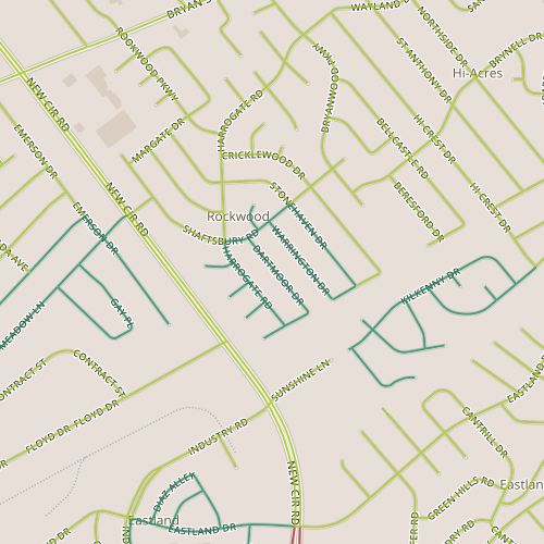
Today took me to an area near Southland Drive, an area that figures prominently in my mental map of the city.  This segment of Southland has several businesses that the people in my circles talk about: a particular bar, a food co-op, a Habitat Re-store.  It’s also the location of a new public health clinic currently under construction, news of which percolates up fairly regularly.  Southland always surprises me; for some reason the fact that it is essentially a collection of 1950’s era strip malls catches me off guard; it doesn’t jibe with the image in my head of a hip area.

Mr. Suds laundromat on Southland Drive

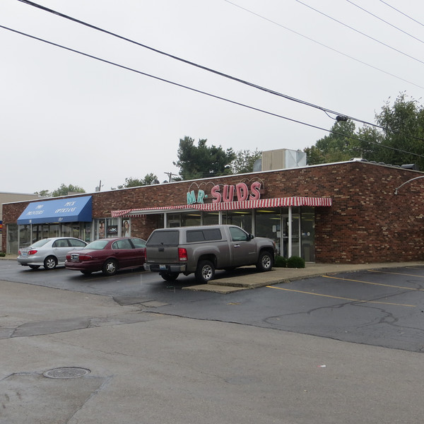
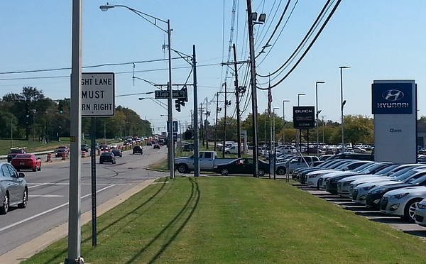
But in fact, no one has ever really said that Southland is hip.  Maybe it would be more accurate to say it is funky without being pretentious.  I came across a tattoo parlor, more than one drive through liquor store, a Caribbean store and a laundromat called “Mr. Suds.”

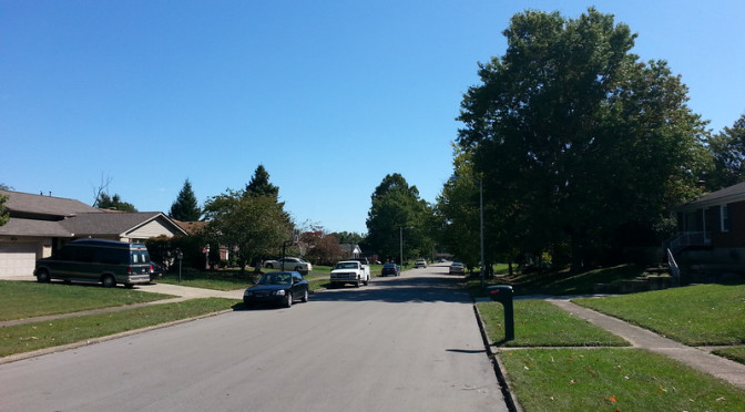
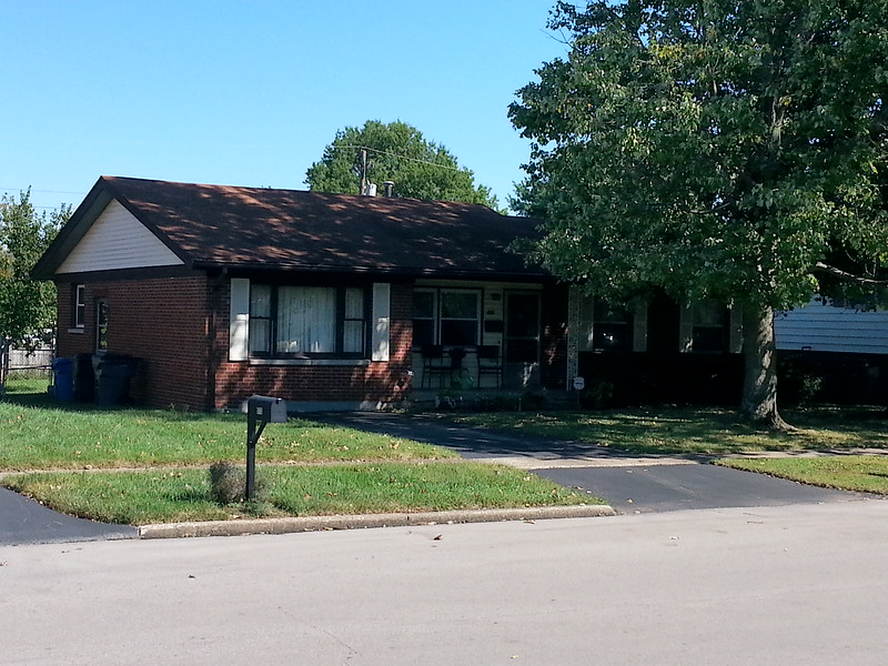
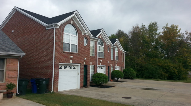
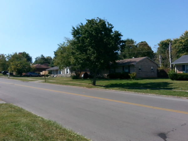
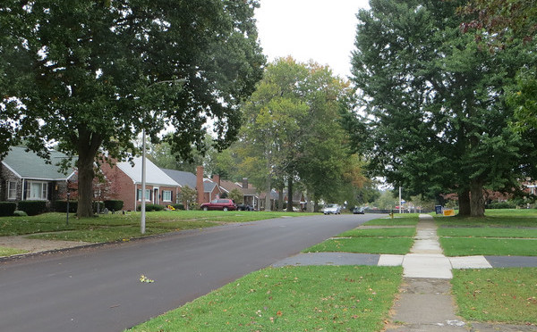
I was intrigued, too, by the neighborhood behind Southland Drive.  What would it be like to have your neighborhood grocery store be a co-op?  The neighborhood matches the commercial district, featuring houses from the 1950’s along car-ready streets. The perceptual contrast of small  houses along wide streets with tall trees is tough to reconcile.   Things feel as if they are going by slowly, kind of like the feeling you might get trying to run after riding a bicycle. The houses are generally similar Cape Cod style houses, though construction varies.  Houses on Mitchell and Rosemont Garden are more likely to be brick, in other places they are probably frame.  As we get closer to election time, it’s becoming easier to gauge a neighborhood’s general political leanings, and this area appears to lean to the left, with several homes sporting multiple yard signs for Democrats.  It also has a funkiness that mirrors the strip malls, an intentional shagginess that contrasts with the clean-cut yards of, say, Rookwood, but without looking neglected.

Another Lexington Art Horse

What works: The relationship between the commercial district and residential areas appears strong.

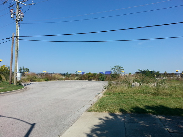
What doesn’t: Seriously, there are no sidewalks on Southland?

Day 45-Window on the Driveway

day 45Today I returned to the Rookwood area that I first visited on Day 7 although this area appears to be slightly newer, with ranch and “two-story” ranch houses from the late 1960’s.  This section also feels perhaps a bit more stable.  Though the houses are modest, the yards are large and all in all, both homes and yards feel well cared for.  While in some neighborhoods this age, you might see crumbling concrete and asphalt or siding in need of painting, there is none of that here and some places have had nice exterior upgrades.

Converted garage in the Rookwood neighborhood

One feature of houses of this vintage tickles me.  These houses date from the early part of the attached garage era.  Some houses have them and some don’t.  It always seems that at least a few homes from this period have attached garages that have been converted into living space, often resulting in a driveway that leads right up to, say, a bay window.  At any rate, this area is no exception, and there were two or three converted garages.

This area also features what at a glance appears to be a park, located on the southern corner near New Circle Road.  Property records show that this area has been subdivided but list the owner as the city/county government.  Behind this is dense vegetation, apparently right-of-way for power lines, possibly with some drainage function interrelated to the overgrown culverts I saw on the other side in July.

What works: Something is keeping this neighborhood stable.

What doesn’t: These streets are tantalizingly close to connecting to nearby Kenawood park.  Proximity to parks is good or bad depending on who you ask, but I wish they’d been designed with the extra connection.

Day 44-Early Halloween and Duplex Row

day 44Today’s walk passed through both an area of single-family homes and of duplexes, similar to Day 43.  Unlike the Boston Road area, however,  these homes were all built in a relatively short period of time in the late 1990’s and perhaps early 2000’s.  Both of today’s areas are technically part of the Emerson Woods subdivision, located near Tate’s Creek and Laredo, though naturally the separate areas have different textures.

I probably talk about the implications of neighborhood age too much, but it’s amazing to me how strongly it impacts its feeling.  Homes in both 1980’s era Boston Road and late 1990’s Emerson Woods have Halloween decorations up.  But the decorations I saw the other day were subtle, tasteful, perhaps leaning toward being “fall” oriented rather than Halloween-oriented.  Here, they are playful, witches, cobwebs, jack-o-lanterns that have already been carved, reflective, one suspects, on the presence (and age) of children whose parents would have moved into the area as young families 15 years ago.

"Calvin-and Hobbes-esque jack-o-lanterns
“Calvin-and-Hobbes”-esque jack-o-lanterns

The single-family neighborhood, with modest homes on modest lots and streets lined with pear trees has some natural visual appeal.  The lots here are generally on the small side, probably averaging around 1/10th of an acre each (with larger lots on the ends of cul-de-sacs), meaning the density here is relatively high for a neighborhood of single family homes.  The adjacent area of duplexes, surprisingly, does little to improve the density.  The smallest parcels are 0.2 acres, and at least one parcel is well over 0.45 acres, well more than twice as large as the largest single-family parcel.  While some of this additional space is taken up with a shared wooded area behind the homes, this is only part of it.  Density has a parking problem and it is evident in this area where driveways and curb cuts dominate.  In some cases, the entire front of the house is paved.  This is clear enough with a few homes but it is striking when you have an entire street with no street trees and this much concrete.

What works: Comfortable density

What doesn’t: The separation of single family homes and duplexes is jarring.

Day 43-Suburban Townhomes and Stormwater

day 43Today’s walk took me to an area just outside of Man O’ War at Boston Road.   My path took me through several distinct areas.  This area is being built out slowly.  Some of the older houses date to the mid 1980’s, but there are newer condos that have been completed within the last few years and there appears to be room for additional construction.  In addition to the housing, the intersection of Man O’ War and Boston Road has two shopping centers including one anchored by a grocery store.

The overall impact is positive. With a mix of housing levels and nearby shopping, the area has as much of a main street vibe as you would expect to find in an essentially suburban area.  (That is, I don’t believe the area was intentionally planned with anything along the lines of a New Urbanist approach.) Despite the rain, I ran into several other people walking which has not been a typical experience for me on mid-day walks in the suburban neighborhoods.

I passed over two separate streams (essentially stormwater ditches), both apparently on their way to South Elkhorn Creek.  The water flows in this area have a definite impact on the street layout, which has long, unconnected streets like Overview.  Some attempt has been made to make these streams pleasant (for example, a small pond along Boston Road and a trail behind the townhouses on Nadia.  The results are mixed, but it’s a step up from trapping the water underground.

What works: mixture of housing and retail

What doesn’t: Superblocks

Day 42

day 42Today was a split day, with a portion of my walk through a residential neighborhood just south of Man O’ War called Cove Lake and the rest along the commercial corridor along Richmond Road behind the neighborhood.

The contrast between residential and commercial is very clear along Lake Wales.  This street appeals to me for a reason I can’t put my finger on.  It feels as if maybe it is just less self-conscious than most streets.  Lake Wales ends in a cul-de-sac, and it’s hard to tell from the map but it sits perhaps 12 feet over the adjacent car lot with a surprising view of brightly colored street lights at shoe level.  Here, the sounds of insects is almost loud enough to drown out the sound of traffic passing through what is probably one of the city’s busiest intersections.

The view from Lake Wales looking toward Richmond Rd.

The commercial strip is, of course, image conscious.  Besides, the car lot with the yellow and blue light posts, there are a number of fast-casual restaurants tending toward the trendy and up-and-coming, serving food out of buildings that weren’t here a year ago.  This being the place to be, the biggest surprise may be that a lot that has yet to be built has signs of a previous building that must have been razed.  Winding back on Eagle Creek, literally through a car dealership, puts you back in the older Cove Lake neighborhood.

Houses in the Cove Lake neighborhood

The term “conspicuous consumption” is thrown around often enough to describe luxuries from extravagant phone accessories to large houses.  The simple houses here belie a time when the aesthetic was quiet austerity.  The tract houses built from the 1940’s through the 1960’s and into the 1970’s were generally simple.  Houses along Eagle Creek are very different than the bright new restaurants with visually interesting facades.

What works: The commercial strip is adjacent to the neighborhood but feels buffered.

What doesn’t: The maps.  Neither map provider I use correctly identified the intersection of Sand Creek and Richmond.